Getting there and parking
Castellfollit is on the road between Besalú and Olot. Driving there is easy; what's worth knowing is where to park and which buses stop in the village.
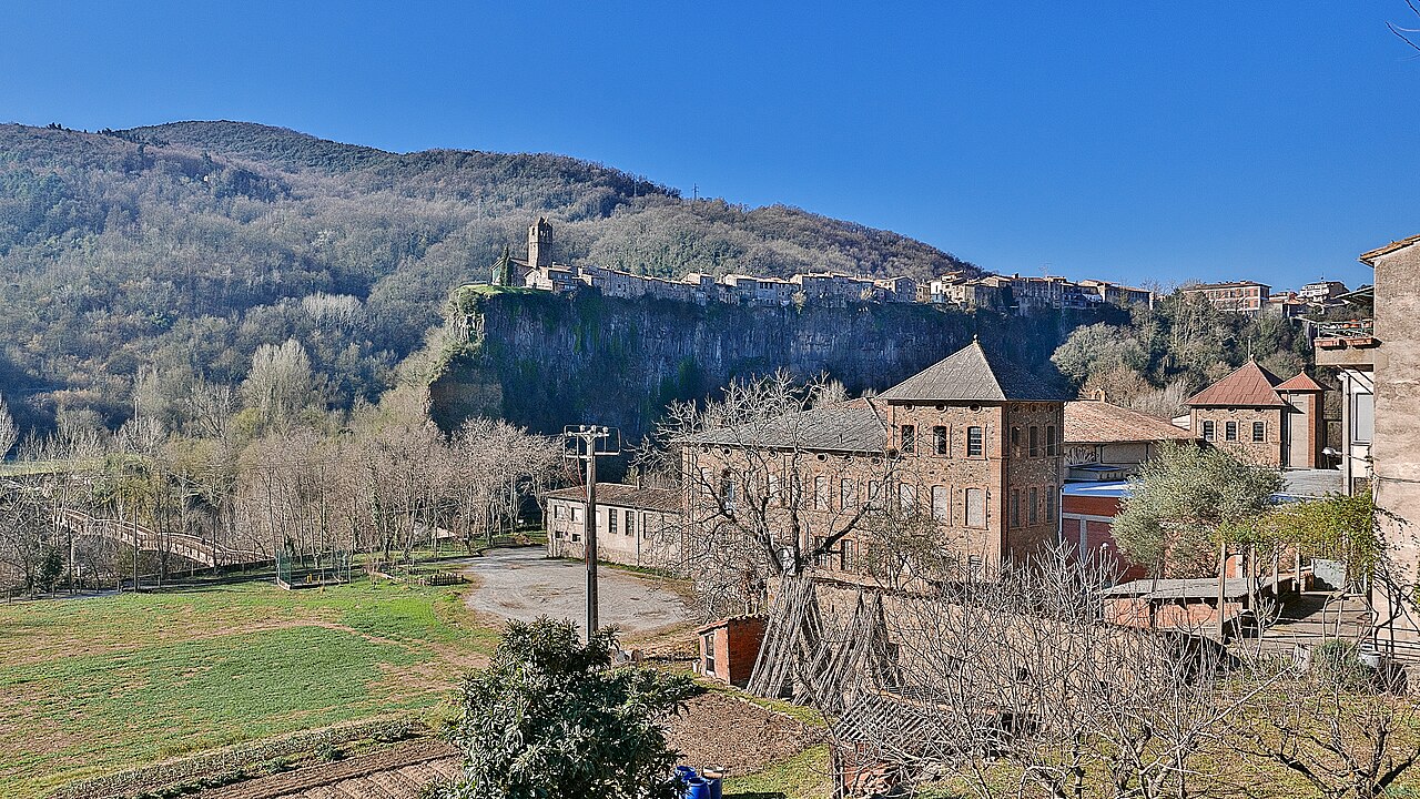
By car
The village sits on the route that links Besalú with Olot. These are the distances given by the town council:
- From Barcelona: two options. Via Girona (motorway to Girona, then the C-66 to Besalú and the N-260), about 147 km; or via Vic (the C-17 to Vic and the C-37 towards Olot), about 119 km.
- From Girona: about 47 km on the C-66 to Besalú and then the N-260.
- From Figueres: about 37 km on the N-260.
- From Olot: about 7.5 km on the N-260.
Bear in mind that a dual carriageway, the A-26, now runs past the village, and that the old stretch through Castellfollit appears on maps as the N-260z. If you're using a satnav or a maps app, set the village as your destination, not the A-26.
From France. The usual route is to cross the border at La Jonquera and carry on towards Figueres, where you pick up the road to Besalú and Olot. The OSRM route planner, using OpenStreetMap data, gives about 63 km from La Jonquera and about 100 km from Perpignan (checked in October 2026). These are rough figures: check the route on the day you travel.
Where to park
The old town has narrow streets and isn't made for cars. The practical thing is to leave the car outside it and walk in:
- Plaça de Catalunya. In the newer part of the village. Turisme Garrotxa says there's a free public car park there, and uses it as the starting point for the Natural Park's circular walk.
- By the road, towards the Oix turn-off. The Natural Park's 2009 route sheet started the same walk from a car park at km 45.2 of the Girona–Olot road, near the junction with the road to Oix. Roads have been renamed since then; if you park around there, keep an eye on the signs.
When choosing what time to arrive, also think about the light on the cliff: we explain it in plan your visit.
By bus
Castellfollit has a bus stop on the road that runs through the village, the Olot road, according to the town council. On the TEISA website, checked in October 2026, the village is listed as a stop on these lines:
- Olot - Barcelona via Banyoles, which also stops in Besalú.
- Girona - Olot via Banyoles, also stopping in Besalú.
- Olot - Figueres, also via Besalú.
- Bus Transversal de la Garrotxa, which links Besalú, Castellfollit, Sant Joan les Fonts, Olot, Les Preses and Sant Esteve d'en Bas, among other stops.
Timetables change with the day and the season, so we don't copy them here: check them on the TEISA website before you set off. If you're spending the night in the area, Olot is the best-connected base; we explain why in where to stay.
By taxi
The town council lists taxi phone numbers for Castellfollit and Olot on its getting there page.
No car, no hassle
If you'd rather someone else did the driving, there are day trips from Barcelona and from Girona that include Castellfollit, Besalú and the volcanic area. We compare them in day trips and getting there without a car.
Sources
- Com arribar-hi (Ayuntamiento de Castellfollit de la Roca) · accessed
- Risco basáltico de Castellfollit de la Roca, itinerario 13 (Turisme Garrotxa) · accessed
- Núm. 13. Riscales de Castellfollit de la Roca (Parc Natural, ficha de 2009) · accessed
- Bus interurbano: líneas y horarios (TEISA) · accessed
- Horario Olot - Barcelona por Banyoles (TEISA, PDF) · accessed
- Horario Girona - Olot por Banyoles (TEISA, PDF) · accessed
- Horario Olot - Figueres (TEISA, PDF) · accessed
- Ruta en coche desde La Jonquera (OSRM, datos de OpenStreetMap) · accessed
- Ruta en coche desde Perpiñán (OSRM, datos de OpenStreetMap) · accessed
- Pont del Fluvià, carretera N-260z (OpenStreetMap) · accessed
- Viaducte del Fluvià, autovía A-26 (OpenStreetMap) · accessed
- Parada de autobús Castellfollit de la Roca (OpenStreetMap) · accessed