What to see in Castellfollit de la Roca
The village is small and easy to explore on foot. The best of it lies at either end: up top, the tip of the cliff with the old church; down below, the river, where the rock finally makes sense.
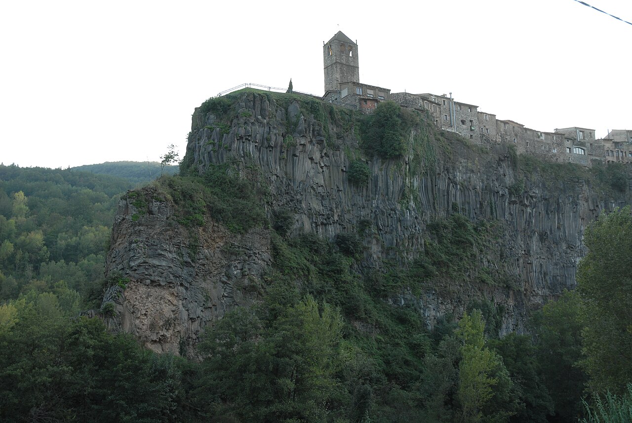
Up top: the tip of the cliff
The old town takes up the eastern end of the cliff and finishes in an open space above a sheer drop. That's where you'll find the two essential visits:
- The Plaça de Josep Pla viewpoint, on the edge of the rock face, with views over the Fluvià and Toronell valleys. According to the town council, it was the village cemetery until the 1960s.
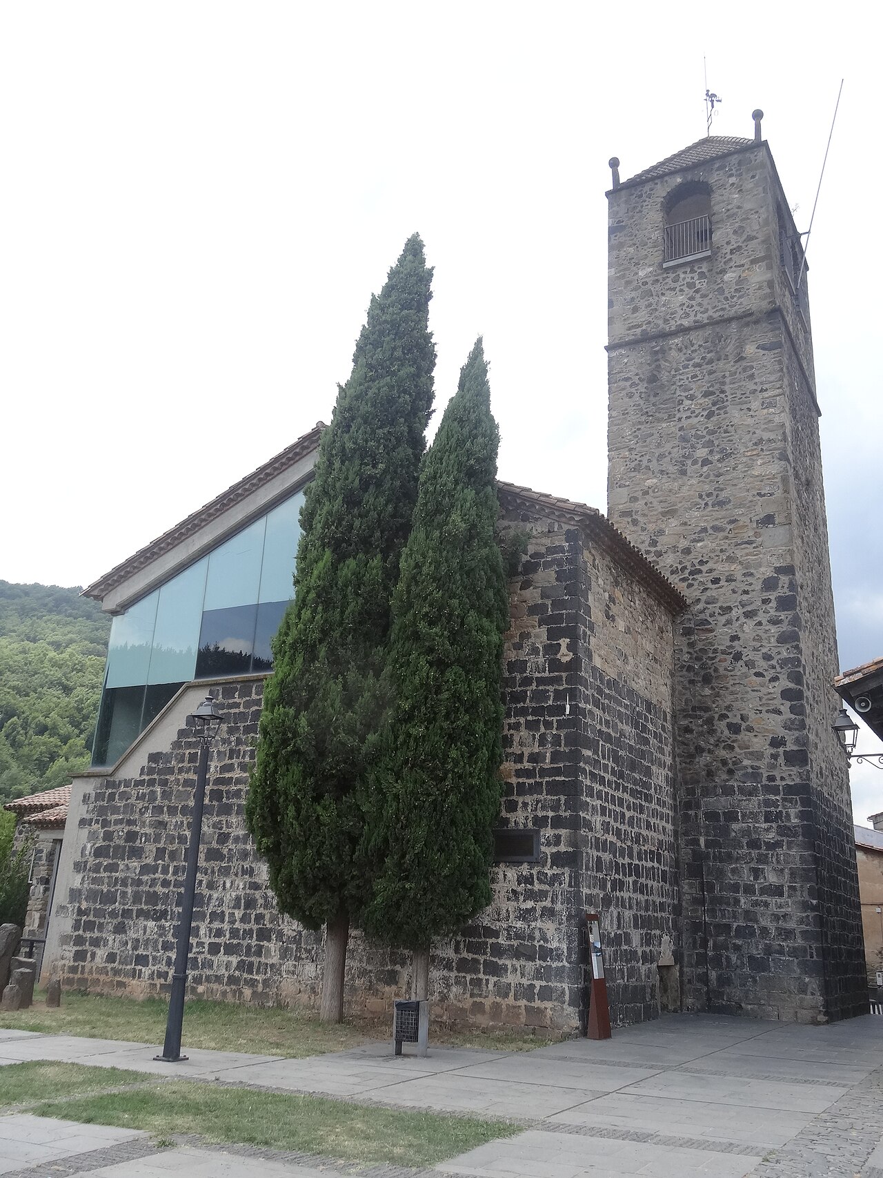
- The old church of Sant Salvador, documented since the Middle Ages, burnt during the Spanish Civil War and rescued by local people in the 1980s as a cultural space. You can climb its bell tower during opening hours.
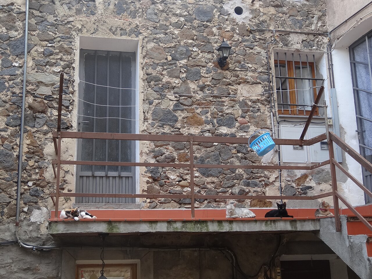
To get there you walk through the old town: narrow streets, small squares such as Plaça del Cingle, and houses of volcanic stone.
Down below: the river and the rock
From the top you can't see the cliff you're standing on. To understand why the village is famous, you have to go down:
- The basalt cliff itself: two lava flows, one on top of the other, with the basalt columns clearly visible.
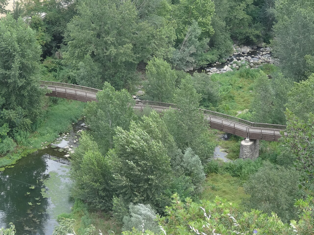
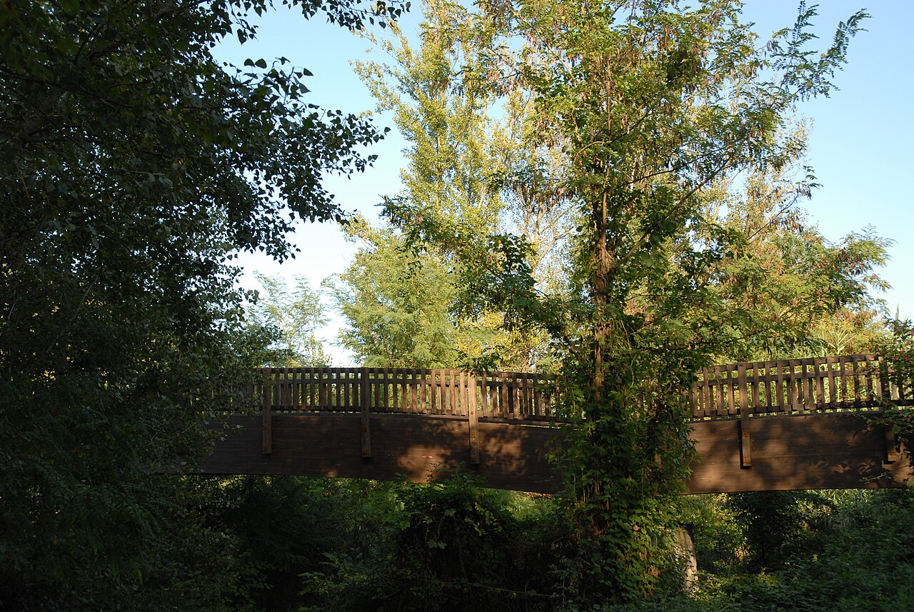
- The footbridge over the Fluvià, made of wood, from where you see the village on top of the rock.
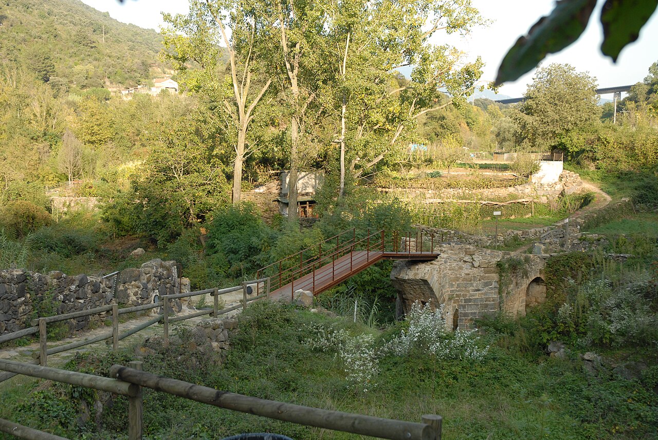
- The medieval bridge over the Toronell and the Via Annia, the cobbled path that links the vegetable gardens with the old church.
All three are linked by the Natural Park's route 13, which we describe in the walking route.
In the newer part, by the road
Outside the old town, along the old Girona–Olot road, you'll find the Torre del Rellotge, the clock tower with its figure of Sant Roc, and several façades that the town council includes in its heritage inventory: Ca la Paula, an inn since 1870; Vila Margarita, with the dates 1865 and 1911 on its façade; and Can Gussinyer, with a lintel dated 1681.
The classic view from the road, with the north face of the cliff straight ahead, is next to the bridge over the Fluvià. We explain it in the photography guide.
The basalt quarry
The town council notes that the village quarry is the only working basalt quarry in Spain and that the Ortiz family has run it since 1929. It's a working business, not somewhere to visit, but you see its stone all over the village: the paving in the old town is basalt.
The sausage museum no longer exists
Many guides still mention the Museu de l'Embotit, a museum of cured sausages run by a local family of charcuterie makers, on the Girona road. Don't go looking for it: the town council announced that its building would be demolished from 5 May 2025. On the site, the town council plans a new street that will link the Girona road with the camí de ronda, the walkway that runs along the cliff on the old-town side. That walkway is another council project: in July 2026 the council announced that the first phase of the works would start at the end of that year and that, once finished, it will be a promenade along the cliff between the old town and Carrer Girona.
Keep exploring
- History and geology: how the rock formed and what happened in the village.
- Photography: where the classic photos are taken, and in what light.
- Nearby sights: Besalú, Olot, the volcanoes and the Fageda d'en Jordà.
The basalt cliff
Two lava flows, one on top of the other, and two rivers that have been cutting into them ever since. The result is the wall the village stands on.
The old town
A handful of narrow streets on top of the rock, with houses of volcanic stone and fragments of town wall hidden in the façades. It doesn't take long to explore: go slowly and keep your eyes open.
The footbridge over the Fluvià
To see Castellfollit as it appears in the photos, you have to go down to the river. The wooden footbridge is where the village, the rock and the water all fit into one view.
History and geology of Castellfollit
First came the lava; then a castle in a spot that was easy to defend. A thousand years of earthquakes, sieges and floods explain the village you see today.
The Plaça de Josep Pla viewpoint
At the end of the old town, the street opens onto a square above a sheer drop. It's the village's balcony, at the tip of the cliff, right above the spot where the two rivers meet.
The old church of Sant Salvador
Earthquakes, wars and a fire in 1936 didn't finish it off. Today it's a cultural space at the tip of the cliff, with a bell tower you can climb.
The medieval bridge over the Toronell and the Via Annia
Below the village, by the vegetable gardens, a bridge with Gothic remains and a cobbled path of Roman origin link the river with the tip of the cliff.
The Torre del Rellotge and Plaça de Sant Roc
Before you reach the old town, on the road through the village, a tower with a fountain, a saint and a clock greets new arrivals. Behind it lies a story of election promises.
Walking route: Natural Park route 13
A short, waymarked circular walk that drops from the village to the river and climbs back up. It's the best way to see the cliff from below and the village from above in a single outing.
Photography: where and when
The famous photo isn't taken from the village but from outside it: from the road or from the river. These are the spots, and this is the light you'll find at each one.
Places

Basalt cliff of Castellfollit
The basalt wall, about 40 to 50 metres high depending on the source and almost a kilometre long, on which the village stands.

Plaça de Josep Pla viewpoint
The square on the edge of the cliff, next to the old church, with views over the Fluvià and Toronell valleys.
.jpg)
Old church of Sant Salvador
The village's old church, at the far end of the cliff, now a cultural space with a bell tower open to visitors.
.jpg)
Old town
Narrow streets of medieval origin, houses of volcanic stone and small squares on top of the cliff.
.jpg)
Footbridge over the Fluvià
Wooden footbridge over the river, with one of the most complete views of the village and the eastern end of the cliff.
.jpg)
Medieval Toronell bridge and Via Annia
The bridge over the Toronell, with Gothic remains, and the cobbled stretch of Roman road that climbs to the old church.
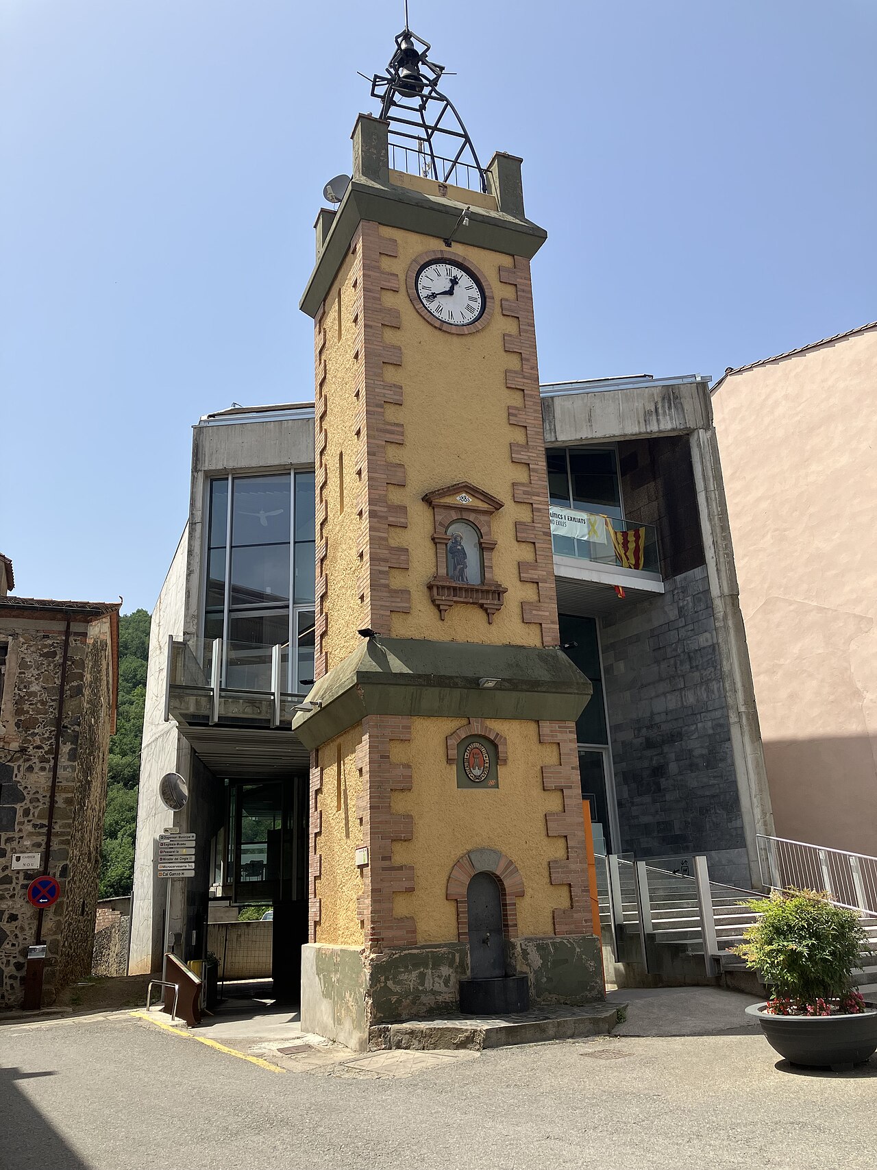

Torre del Rellotge
The 1920s clock tower, with the fountain and the figure of Sant Roc, in Plaça de Sant Roc next to the town hall.
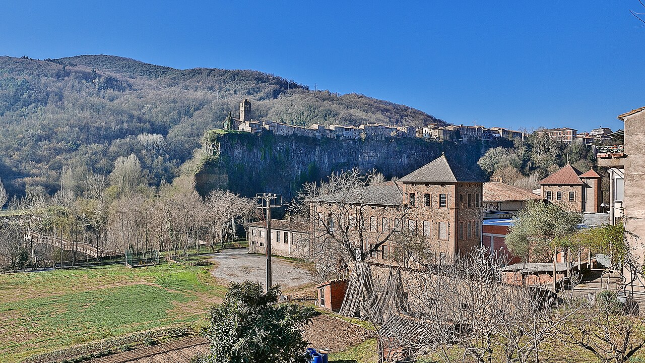

View from the Fluvià bridge
Beside the road bridge over the Fluvià, north of the village, you see the north face of the cliff head-on, with the houses along the top.
Sources
- Patrimoni arquitectònic (Ayuntamiento de Castellfollit de la Roca) · accessed
- El barri vell (Ayuntamiento de Castellfollit de la Roca) · accessed
- Altres llocs d'interès (Ayuntamiento de Castellfollit de la Roca) · accessed
- La pedrera (Ayuntamiento de Castellfollit de la Roca) · accessed
- Riscales de Castellfollit de la Roca, itinerario 13 (Parc Natural de la Zona Volcànica de la Garrotxa) · accessed
- Castellfollit de la Roca, ficha del municipio (Turisme Garrotxa) · accessed
- Mirador junto al Pont del Fluvià (OpenStreetMap) · accessed
- Museu de l'Embotit, Castellfollit de la Roca (GIROMUS) · accessed
- Inici de l'enderroc de l'edifici del Museu de l'Embotit (Ayuntamiento, 30 de abril de 2025) · accessed
- Castellfollit de la Roca presenta dos projectes al PUOSC 2025-2029 (Ayuntamiento) · accessed
- L'Ajuntament impulsarà la primera fase del camí de ronda sobre la cinglera (Ayuntamiento, 3 de julio de 2026) · accessed