The Torre del Rellotge and Plaça de Sant Roc
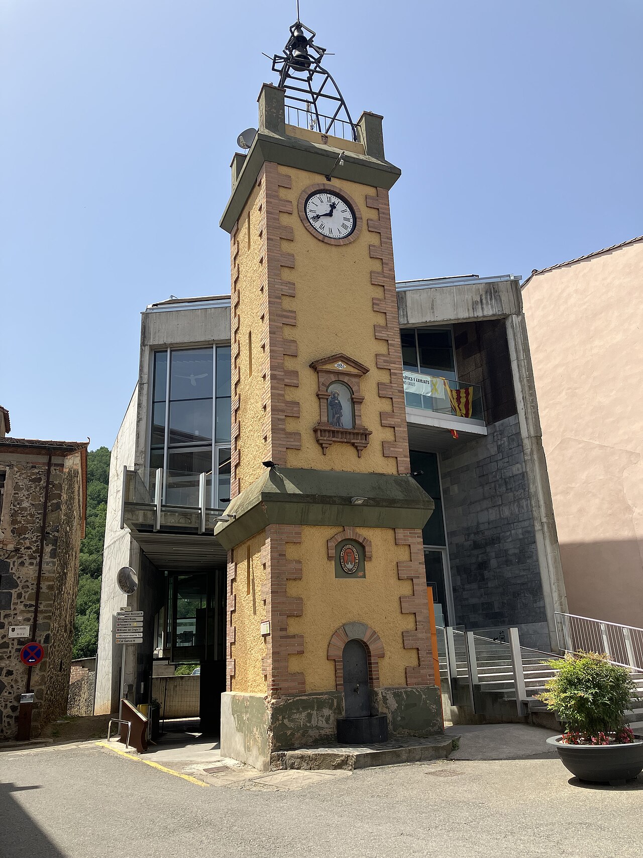
Before you reach the old town, on the road through the village, a tower with a fountain, a saint and a clock greets new arrivals. Behind it lies a story of election promises.
- Coordinates
- 42.21917, 2.55001 · View on OpenStreetMap · Source
- Address
- Plaça de Sant Roc, Castellfollit de la Roca
A tower built on a promise
The Torre del Rellotge, the clock tower, stands on Plaça de Sant Roc, beside the old Girona–Olot road. The Natural Park leaflet describes it from bottom to top: at the base, a fountain; halfway up, the figure of Sant Roc, the patron saint; at the top, the bell, hung from an iron frame. The town council's inventory adds the municipal coat of arms and the clock.
Its origins are unusual. According to the town council, much of the funding was made possible by Lluís Pons i Tusquets, a member of the Spanish parliament (the Cortes), who in 1919 had promised to build it if the village voted for him. Permits were requested on 13 June 1924, the plans were drawn up by Ramon Gusiñer Heras, from Banyoles, and work began in August 1924 and was finished in mid-1925. It cost 4,499 pesetas.
The figure of Sant Roc is older: it is dated 1885 and commemorates a cholera epidemic. Every 16 August a small festival is held in his honour.
The houses on the square and along the road
Before heading into the old town, it's worth looking around. The town council includes several buildings in this area in its heritage inventory:
- Ca la Paula. It has been an inn, restaurant and bar since 1870. Its façade, on the old Girona–Olot road, has balconies on stucco brackets, diamonds of green glazed ceramic and, under the eaves, a chequered band of blue and white ceramic.
- Vila Margarita. A house with a salmon-coloured façade, on the same road, with three large segmental-arched doorways on the ground floor; the central one is dated 1865, and the wavy parapet carries the date 1911 and the name of the house.
- Can Gussinyer. On a bend in the road, at the entrance to the village. The lintel bears the date 1681, and the door still shows bullet marks from a skirmish in April 1872, during the Third Carlist War.
From here
The square is the natural starting point for crossing the old town along Carrer Major to the old church and the viewpoint. If you're arriving by bus, the stop is on the village's main road; we explain this in getting there. And if you want to stay right here, Ca la Paula still runs as an inn: you'll find it, along with the other options in the village and the area, in where to stay.
Places
.jpg)
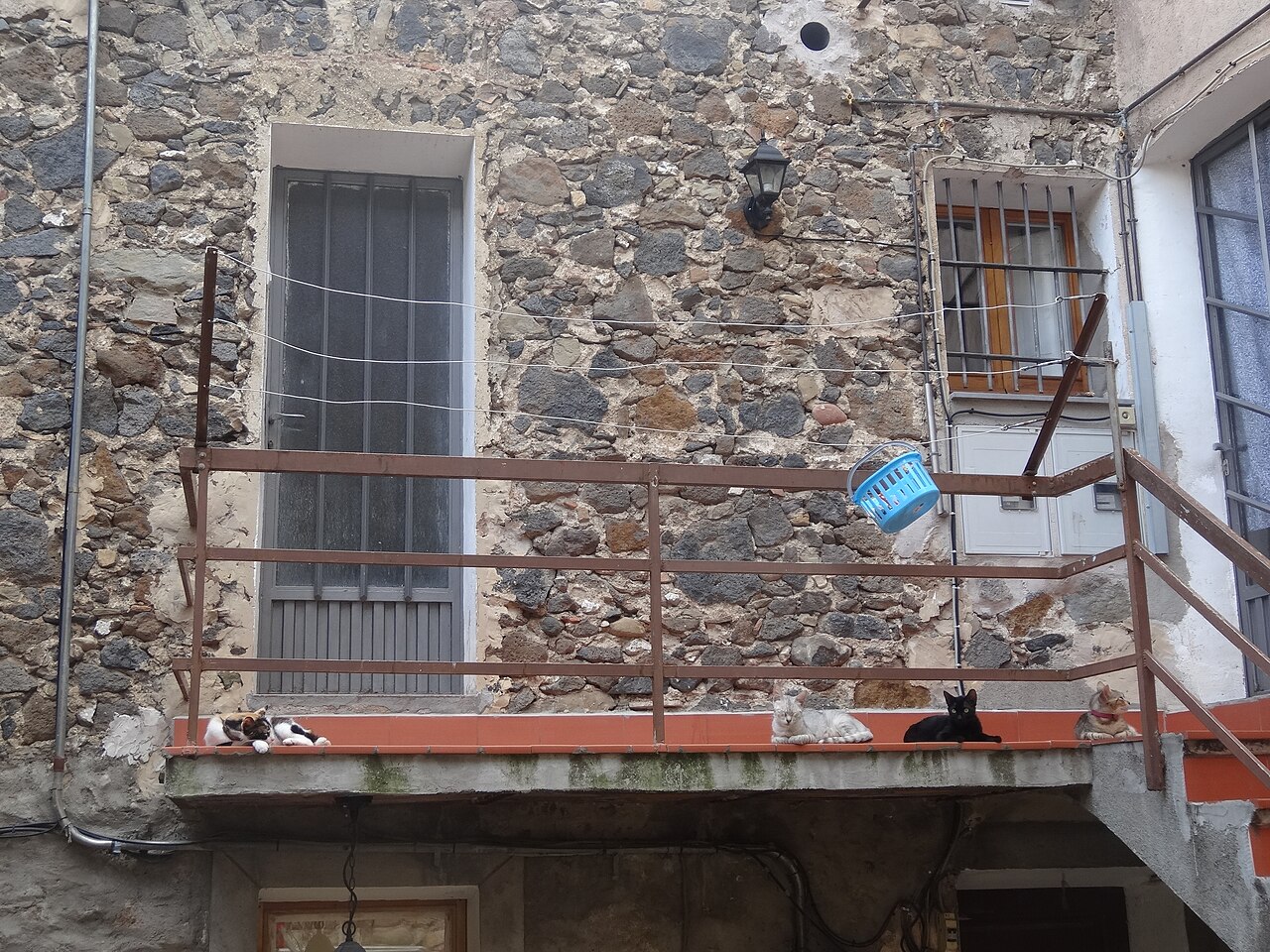
Old town
Narrow streets of medieval origin, houses of volcanic stone and small squares on top of the cliff.
.jpg)
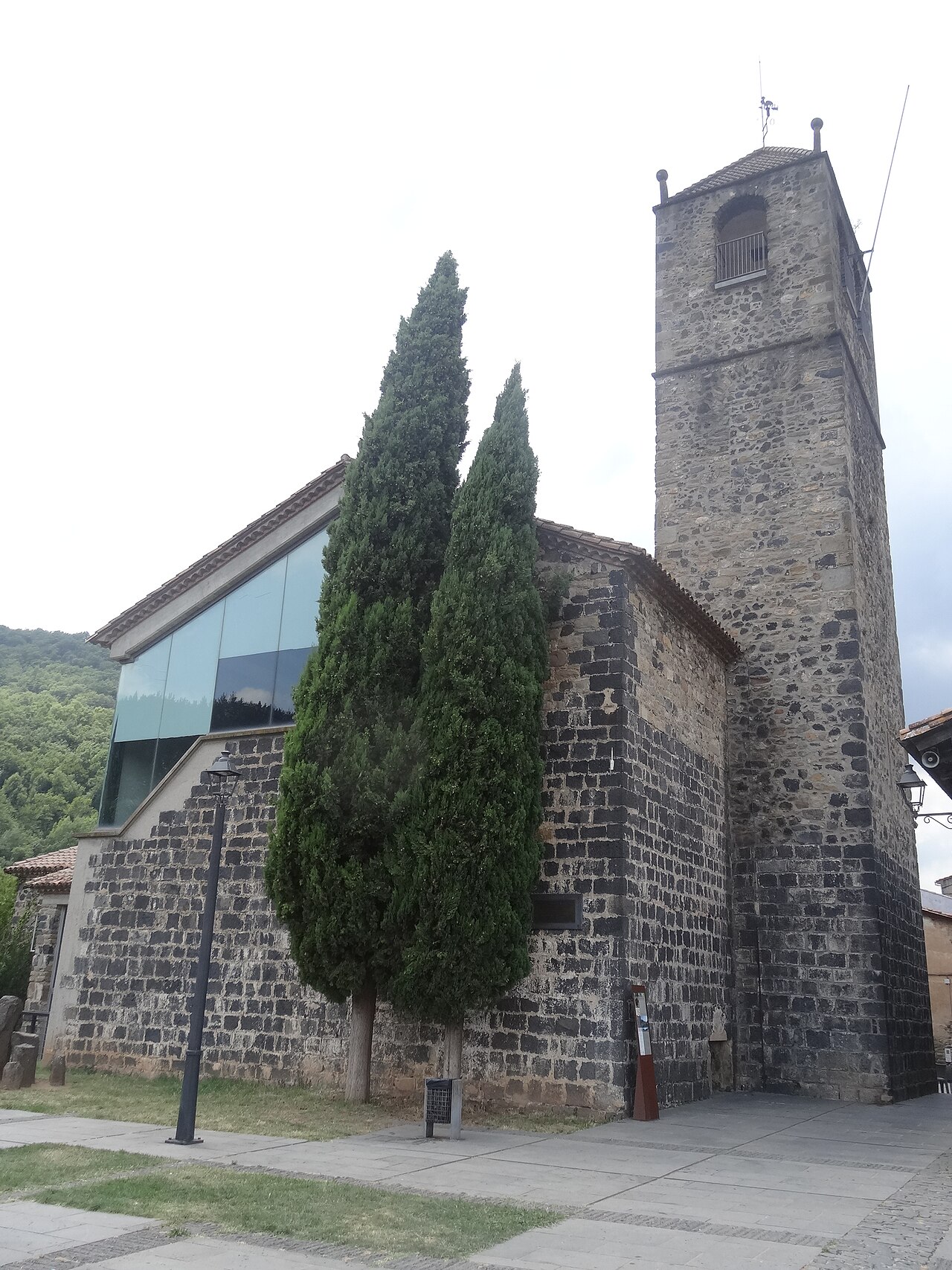
Old church of Sant Salvador
The village's old church, at the far end of the cliff, now a cultural space with a bell tower open to visitors.
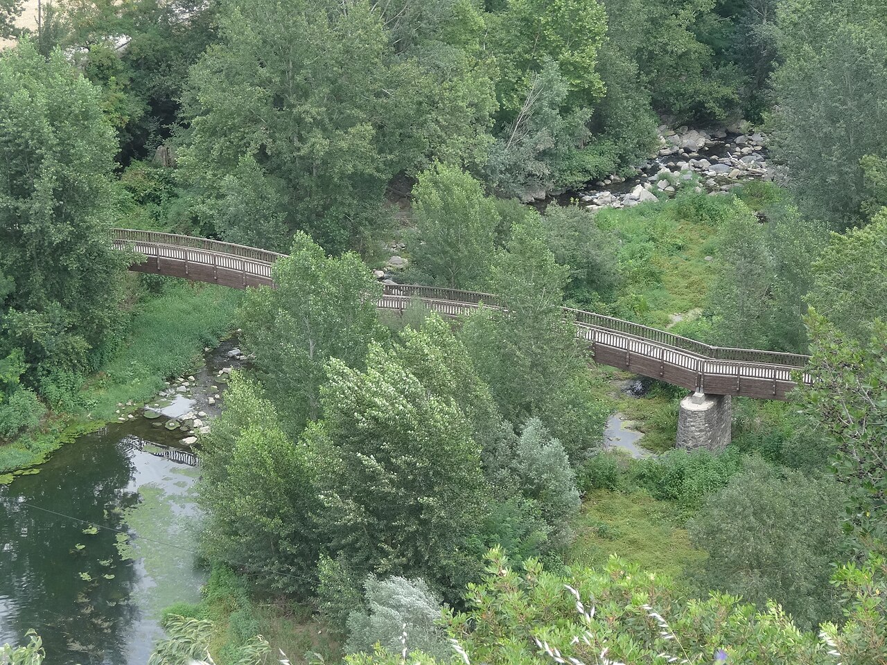

Plaça de Josep Pla viewpoint
The square on the edge of the cliff, next to the old church, with views over the Fluvià and Toronell valleys.
Places to stay
None of these links are affiliate links: we earn no commission from them.
Fonda Ca la Paula
Family-run inn with a restaurant on Plaça de Sant Roc, in the village itself, with single, double and triple rooms and free parking for guests.
Nearby
Old town
Narrow streets of medieval origin, houses of volcanic stone and small squares on top of the cliff.
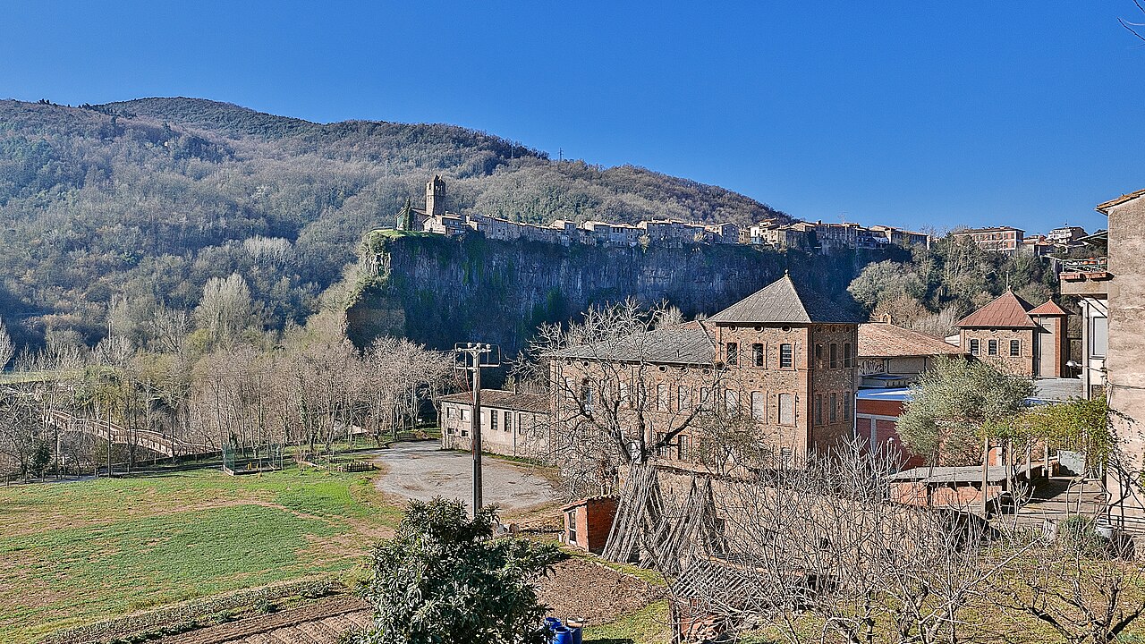

View from the Fluvià bridge
Beside the road bridge over the Fluvià, north of the village, you see the north face of the cliff head-on, with the houses along the top.
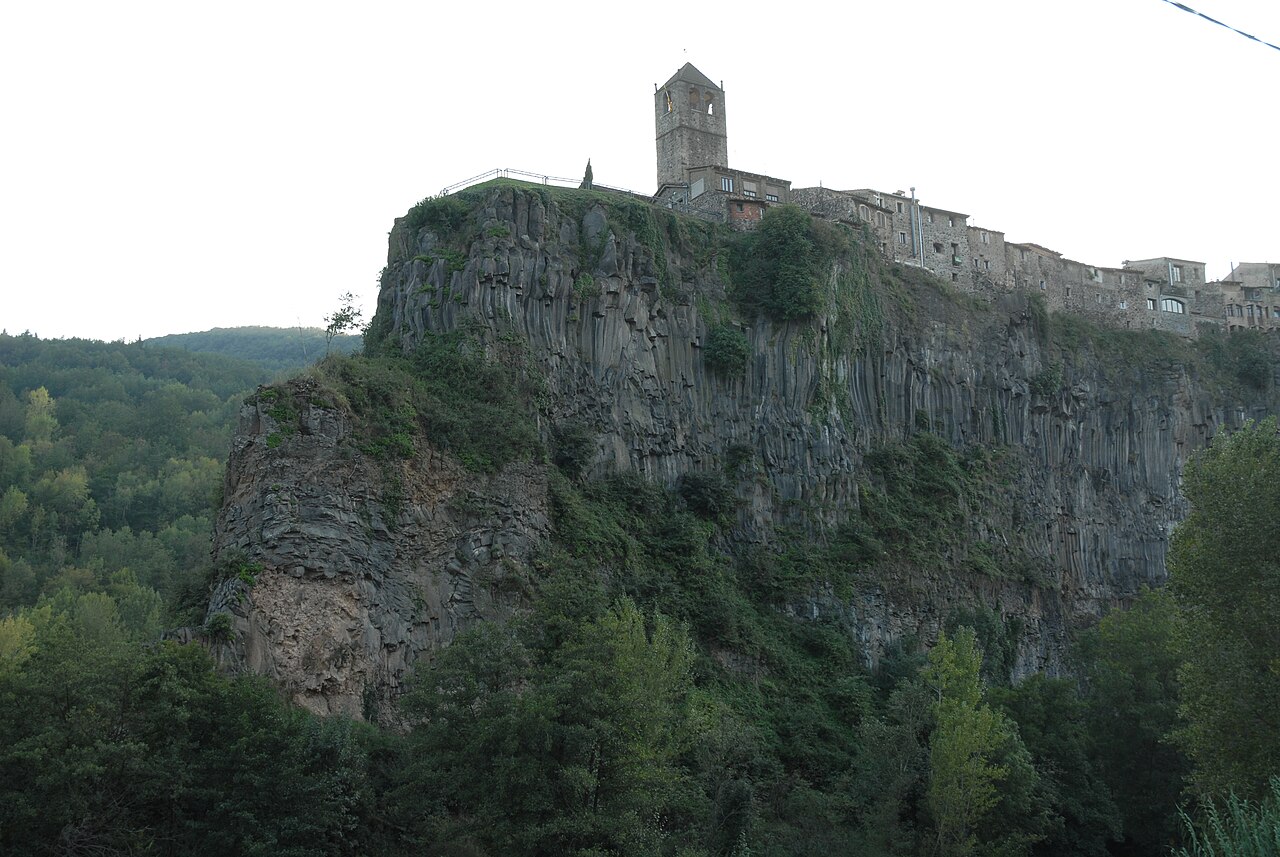

Basalt cliff of Castellfollit
The basalt wall, about 40 to 50 metres high depending on the source and almost a kilometre long, on which the village stands.
Sources
- Patrimoni arquitectònic (Ayuntamiento de Castellfollit de la Roca) · accessed
- Riscales de Castellfollit de la Roca, folleto del itinerario 13 (Parc Natural) · accessed
- Castellfollit de la Roca (Femturisme) · accessed
- Torre del Rellotge, Castellfollit de la Roca (Wikimedia Commons, junio de 2022) · accessed
- Com arribar-hi (Ayuntamiento de Castellfollit de la Roca) · accessed
- Fonda Ca la Paula (Turisme Garrotxa) · accessed
- Torre en la plaza de Sant Roc (OpenStreetMap) · accessed
