The basalt cliff
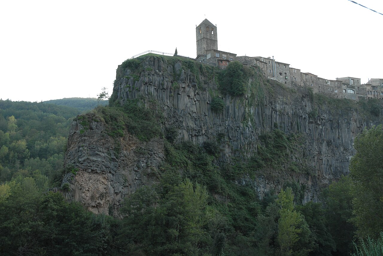
Two lava flows, one on top of the other, and two rivers that have been cutting into them ever since. The result is the wall the village stands on.
- Coordinates
- 42.21865, 2.55398 · View on OpenStreetMap · Source
- Official website
- Basalt cliff of Castellfollit
What it is
The cliff (cinglera in Catalan) is the basalt wall on which Castellfollit's old town stands. It runs for almost a kilometre and separates the village from the rivers around it: the Fluvià to the north and the Toronell to the south, which meet at the foot of the rock.
The official sources don't agree on its height. Turisme Garrotxa says 50 metres, or more than 50 on its cliff page; the Natural Park and the town council say about 40. The Garrotxa heritage route specifies that the 50 metres are reached at the highest point, so the difference may be down, at least in part, to which stretch is being measured.
How it formed
The cliff isn't a single layer of rock but two lava flows that arrived along different valleys and ended up one on top of the other:
- The first flow came down from the Batet area following the Fluvià valley.
- The second arrived from Begudà along the Toronell valley and covered the first. Between the two lie sediments, the remains of the soil that formed on the first flow before the second arrived.
The ages don't match across all sources either. The Garrotxa heritage route gives about 217,000 years for the Batet flow and about 192,000 for the Begudà flow, and Turisme Garrotxa also dates its origin to more than 217,000 years ago. An older Natural Park route sheet, updated in 2009, and the town council's page on the route give the first flow an age printed as "350.00", which looks like a typo for 350.000, that is, 350,000 years in Spanish notation, and leave the second undated. We haven't found a scientific source that settles the question.
As it cooled, the lava arranged itself in two ways. According to Patrimoni Garrotxa's explanation, the upper part forms columns, because it cooled while still, and the lower part forms slabs, because the lava was still moving. The columns are what catch the eye from the river.
A wall that keeps changing
The rivers wear away the base of the rock, and rainwater that seeps into the basalt cracks it when it freezes. That's why the wall keeps retreating and is monitored. According to NacióDigital, in 2023 the Institut Cartogràfic i Geològic de Catalunya installed movement sensors on the north face, facing the Fluvià, where there is a crack that has been known about for years. According to its project website, a Universitat Politècnica de Catalunya team has also photographed that north face every hour since June 2021 to detect any movement in the columns.
For visitors, this boils down to something simple: look at the rock from the waymarked paths and don't go near its base away from them.
Where to see it best
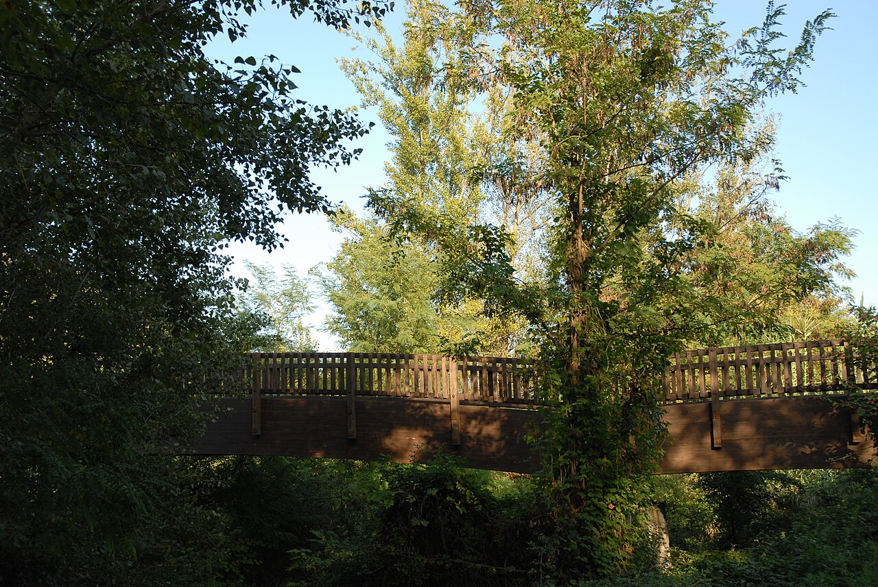
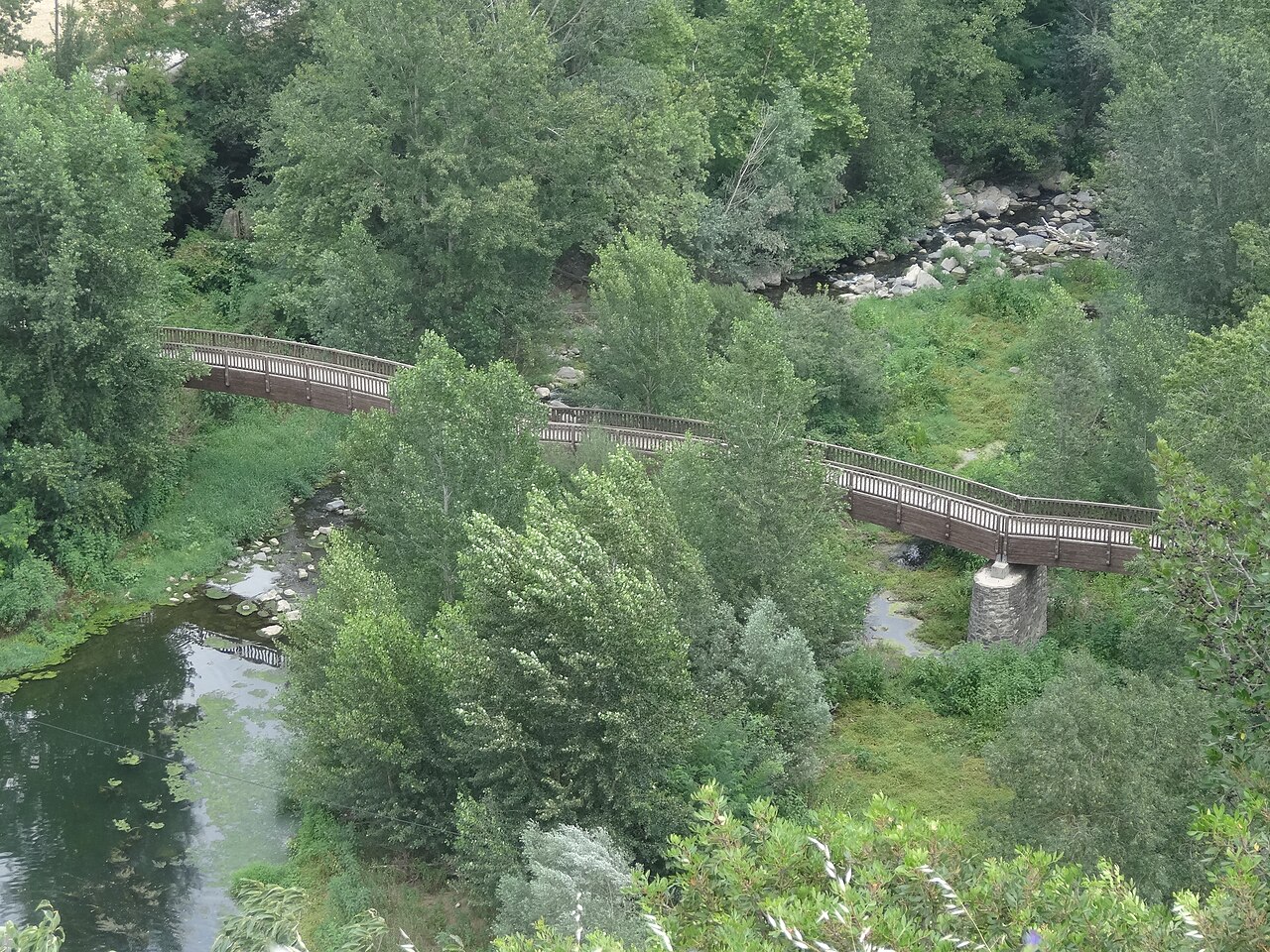
- From the Fluvià footbridge. The wooden footbridge crosses the river at the foot of the village. It's the most complete view from below, with the columns and the houses on top.
- From the road bridge. North of the village, by the bridge over the Fluvià, you see the north face of the cliff head-on. We explain it in photography.
- From above. On the Plaça de Josep Pla viewpoint you're standing on top of the rock and can see the valley, but not the wall.
The easiest way to see all three is the route 13 walking route, which goes down to the river and back up to the village.
Places
.jpg)
Footbridge over the Fluvià
Wooden footbridge over the river, with one of the most complete views of the village and the eastern end of the cliff.
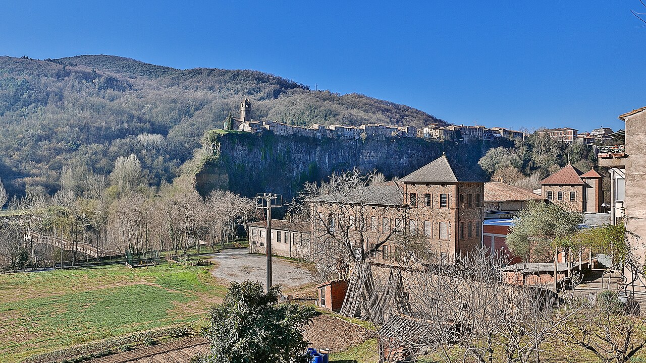

View from the Fluvià bridge
Beside the road bridge over the Fluvià, north of the village, you see the north face of the cliff head-on, with the houses along the top.

Plaça de Josep Pla viewpoint
The square on the edge of the cliff, next to the old church, with views over the Fluvià and Toronell valleys.
Nearby
.jpg)
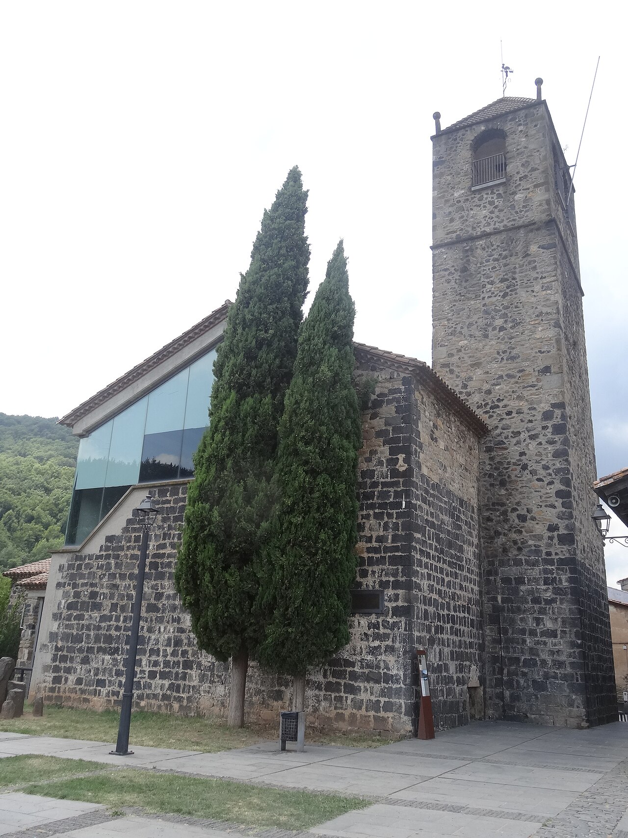
Old church of Sant Salvador
The village's old church, at the far end of the cliff, now a cultural space with a bell tower open to visitors.
Plaça de Josep Pla viewpoint
The square on the edge of the cliff, next to the old church, with views over the Fluvià and Toronell valleys.
.jpg)
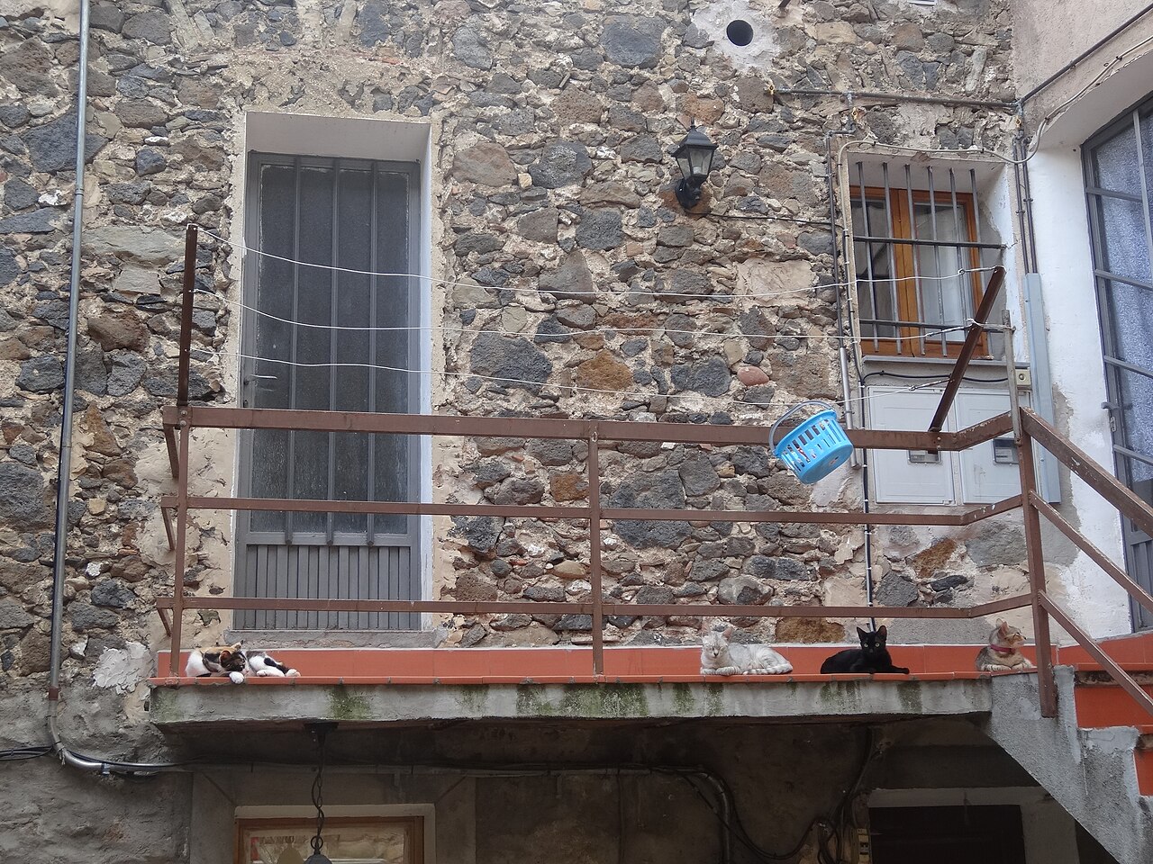
Old town
Narrow streets of medieval origin, houses of volcanic stone and small squares on top of the cliff.
Sources
- Las coladas de lava (Patrimoni Garrotxa) · accessed
- Risco basáltico de Castellfollit de la Roca (Turisme Garrotxa) · accessed
- Núm. 13. Riscales de Castellfollit de la Roca (Parc Natural de la Zona Volcànica de la Garrotxa) · accessed
- Riscales de Castellfollit de la Roca, folleto del itinerario 13 (Parc Natural) · accessed
- Itinerari 13, cingleres de Castellfollit de la Roca (Ayuntamiento) · accessed
- Col·loquen sensors de moviment a la cinglera de Castellfollit (NacióDigital, 4 de julio de 2023) · accessed
- Monitoring: photogrammetric system, Castellfollit de la Roca (Georisk, UPC) · accessed
- Cinglera de Castellfollit de la Roca (OpenStreetMap) · accessed