The Plaça de Josep Pla viewpoint
At the end of the old town, the street opens onto a square above a sheer drop. It's the village's balcony, at the tip of the cliff, right above the spot where the two rivers meet.
- Coordinates
- 42.21851, 2.5547 · View on OpenStreetMap · Source
The village's balcony
Plaça de Josep Pla occupies the eastern end of the cliff, beside the old church of Sant Salvador. The town council calls it a viewpoint square, and, as its description puts it, from here you immediately see why this spot was easy to defend, with a river on each side and the rock wall below.
The Natural Park leaflet calls the lookout point on this square the Puig Castellet viewpoint. From here, as well as the cliff itself, you can see:
- to the south, the Toronell valley;
- to the east, the Fluvià valley;
- to the north, the hill of Cós and the Alta Garrotxa.
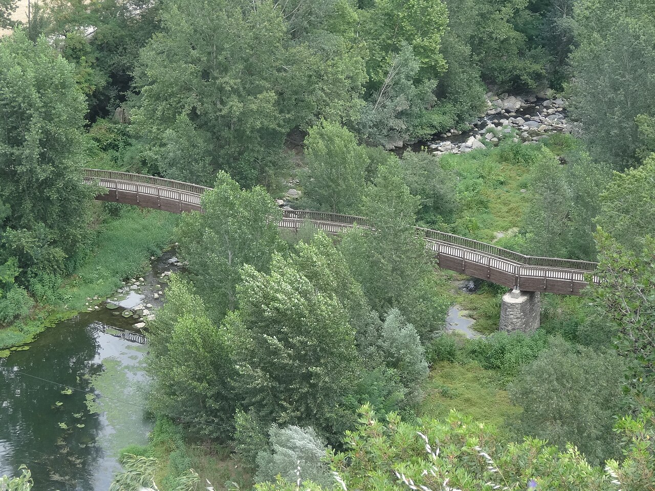
Down below you can make out the wooden footbridge over the Fluvià, which is exactly where the photo of the village on top of the rock is taken from.
Basalt underfoot
According to the Park leaflet, almost all the buildings around the square, and its paving, were rebuilt using volcanic stone from the area, and the town council's page on route 13 adds that the paving and street furniture are basalt. Look down: it's the same stone you're standing on.
A former cemetery
For a long time this space was the village cemetery. The town council says on one of its pages that it was closed and moved in 1961, and its heritage inventory refers to the move of the old church and the cemetery in 1966. Either way, the change happened in the 1960s, when parish life had already moved to the new church.
Getting there and when to go
You reach it on foot through the old town from Plaça de Sant Roc, or by climbing up from the vegetable gardens on the cobbled Via Annia if you're doing the walking route. The old town's streets are narrow: it's best to leave the car outside (we explain where in getting there).
Because the square looks south, east and north, the light changes a lot with the time of day. We cover this in photography and in the sun-times table in plan your visit.
Places
.jpg)
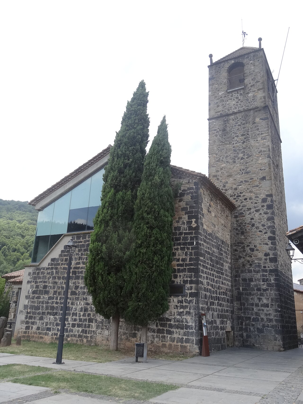
Old church of Sant Salvador
The village's old church, at the far end of the cliff, now a cultural space with a bell tower open to visitors.
.jpg)
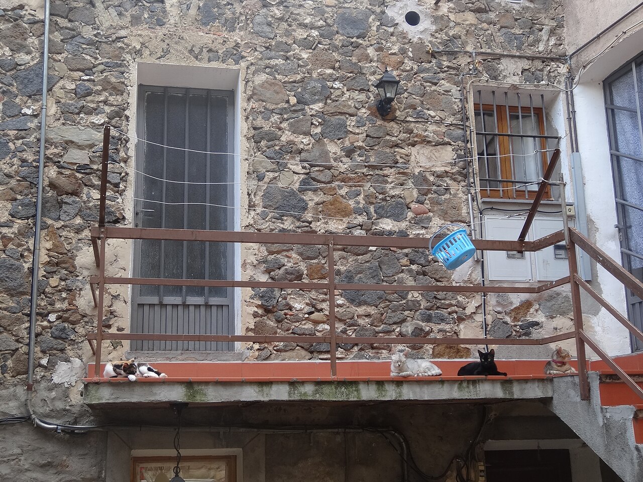
Old town
Narrow streets of medieval origin, houses of volcanic stone and small squares on top of the cliff.
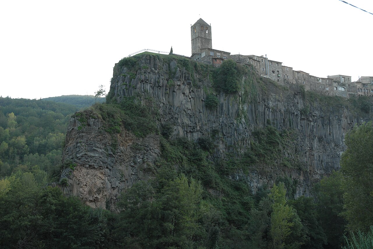

Basalt cliff of Castellfollit
The basalt wall, about 40 to 50 metres high depending on the source and almost a kilometre long, on which the village stands.
Nearby
Old church of Sant Salvador
The village's old church, at the far end of the cliff, now a cultural space with a bell tower open to visitors.
Basalt cliff of Castellfollit
The basalt wall, about 40 to 50 metres high depending on the source and almost a kilometre long, on which the village stands.
.jpg)
Medieval Toronell bridge and Via Annia
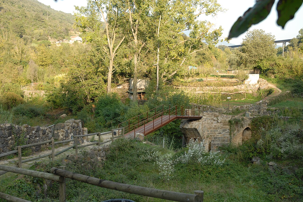
The bridge over the Toronell, with Gothic remains, and the cobbled stretch of Roman road that climbs to the old church.
Sources
- El barri vell (Ayuntamiento de Castellfollit de la Roca) · accessed
- Patrimoni arquitectònic (Ayuntamiento de Castellfollit de la Roca) · accessed
- Itinerari 13, cingleres de Castellfollit de la Roca (Ayuntamiento) · accessed
- Riscales de Castellfollit de la Roca, folleto del itinerario 13 (Parc Natural) · accessed
- Las coladas de lava (Patrimoni Garrotxa) · accessed
- Plaça de Josep Pla (OpenStreetMap) · accessed