The old town
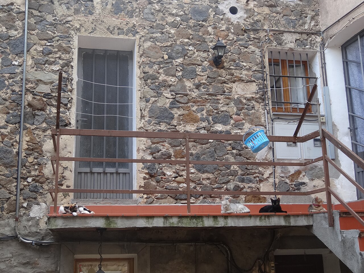
A handful of narrow streets on top of the rock, with houses of volcanic stone and fragments of town wall hidden in the façades. It doesn't take long to explore: go slowly and keep your eyes open.
- Coordinates
- 42.2188, 2.55283 · View on OpenStreetMap · Source
- Official website
- Old town
What it's like
The town council describes the old quarter as medieval in origin, with squares, narrow, shady streets and houses built almost entirely of volcanic stone. The ground underfoot is local too: according to the town council, the paving in the old town is a good example of the use of basalt from the village quarry.
The quarter occupies the top of the cliff and stretches east until it ends at the Plaça de Josep Pla viewpoint and the old church. Between Carrer Major, Carrer de la Força, Carrer del Cingle and several small squares, whichever way you go you end up at the tip.
Turisme Garrotxa notes that a circular route through the old town to the viewpoints and the old church has signs in Braille at the points of interest.
The walls you don't see at first glance
Castellfollit was a fortified town. The town council's heritage inventory acknowledges that few remains of the late medieval wall have been found, and those that exist are built into present-day houses:
- one of the old gateways stood on the Rossolada path;
- one of the fortress towers can be seen beneath the back of the house at number 1, Carrer de la Font;
- at number 3 on the same street there are arrow slits and large cornerstones;
- on Plaça del Cingle, Can Castell keeps arrow slits in the walls that rest against the cliff.
The town council's history page adds that, according to an old plan, the castle occupied a very small area in the north-west corner of the old town, and that a gateway on the Toronell side, the Besalú gate, led out to a bridle path towards that town. The 15th-century earthquakes and the wars of the following centuries left the walls badly degraded: you'll need to take your time to spot what's left.
Plaça del Cingle
This is one of the quarter's small squares, overlooking the north face of the cliff. According to the town council's inventory, the fortress stood here. Today the site is occupied by Can Castell, a former four-storey fortified house converted into holiday apartments (we include it in where to stay).
Where to go in
Carrer Major links the old town with Plaça de Sant Roc, home to the town hall and the Torre del Rellotge, next to the road that runs through the village. It's the most direct way in on foot. The streets are narrow and the best way to see them is to leave the car outside: parking options are in getting there.
If you want to combine the quarter with the lower part, the walking route crosses it from end to end before heading down to the river.
Places
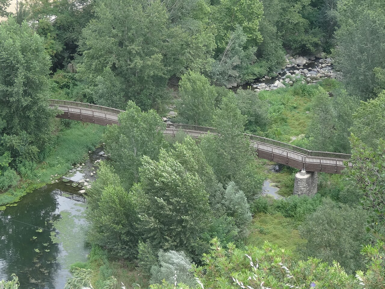

Plaça de Josep Pla viewpoint
The square on the edge of the cliff, next to the old church, with views over the Fluvià and Toronell valleys.
.jpg)
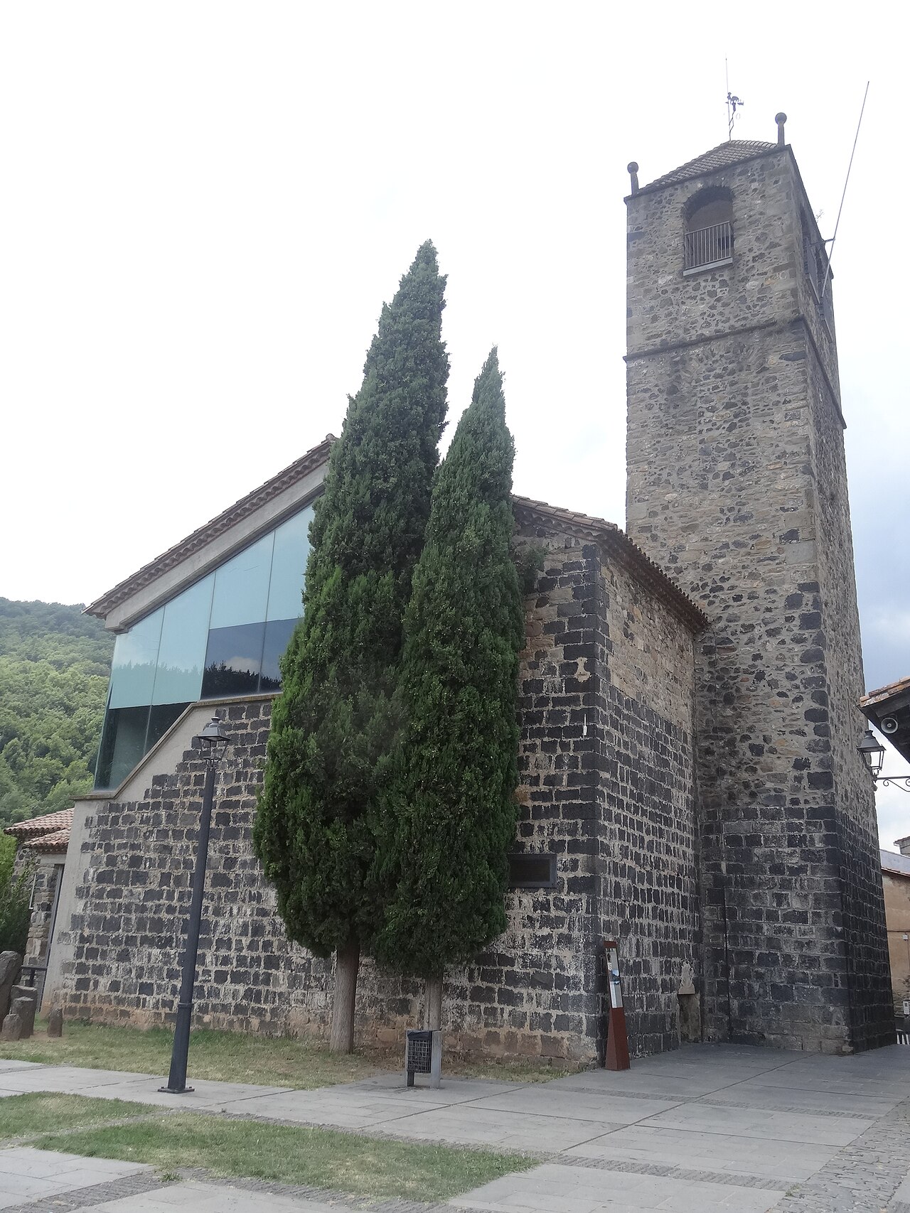
Old church of Sant Salvador
The village's old church, at the far end of the cliff, now a cultural space with a bell tower open to visitors.
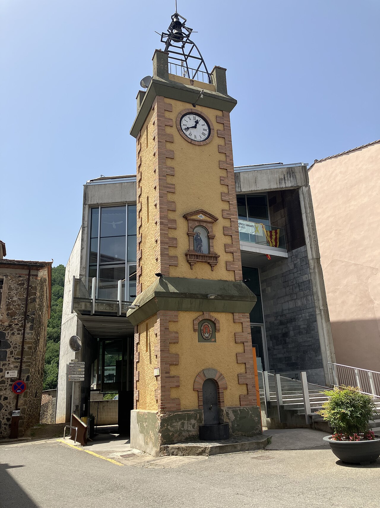

Torre del Rellotge
The 1920s clock tower, with the fountain and the figure of Sant Roc, in Plaça de Sant Roc next to the town hall.
Places to stay
None of these links are affiliate links: we earn no commission from them.
Can Castell
Three holiday apartments on Plaça del Cingle, in the heart of the old town, in the building that stands on the site of the old castle, on the edge of the cliff.
Fonda Ca la Paula
Family-run inn with a restaurant on Plaça de Sant Roc, in the village itself, with single, double and triple rooms and free parking for guests.
Nearby
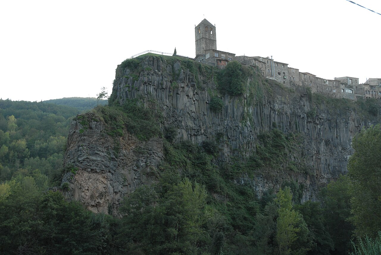

Basalt cliff of Castellfollit
The basalt wall, about 40 to 50 metres high depending on the source and almost a kilometre long, on which the village stands.
Old church of Sant Salvador
The village's old church, at the far end of the cliff, now a cultural space with a bell tower open to visitors.
Plaça de Josep Pla viewpoint
The square on the edge of the cliff, next to the old church, with views over the Fluvià and Toronell valleys.
Sources
- El barri vell (Ayuntamiento de Castellfollit de la Roca) · accessed
- Patrimoni arquitectònic (Ayuntamiento de Castellfollit de la Roca) · accessed
- Història (Ayuntamiento de Castellfollit de la Roca) · accessed
- La pedrera (Ayuntamiento de Castellfollit de la Roca) · accessed
- Castellfollit de la Roca, ficha del municipio (Turisme Garrotxa) · accessed
- Itinerari 13, cingleres de Castellfollit de la Roca (Ayuntamiento) · accessed
- Can Castell, apartamentos turísticos (web oficial) · accessed
- On dormir? (Ayuntamiento de Castellfollit de la Roca) · accessed
- Plaça del Cingle (OpenStreetMap) · accessed