Walking route: Natural Park route 13
A short, waymarked circular walk that drops from the village to the river and climbs back up. It's the best way to see the cliff from below and the village from above in a single outing.
Route facts
According to the current leaflet from the Garrotxa Volcanic Zone Natural Park:
- Distance: 2.8 km.
- Type: circular.
- Estimated time: 1 h 15 min.
- Height gain: 125 m of ascent and 125 m of descent.
- Difficulty: easy on the SENDIF scale, with no sections that need fixed aids.
- Waymarking: yellow signs and markings.
- Season: all year round.
- Start: Plaça de Catalunya, in the newer part of the village. Turisme Garrotxa says there's a free public car park there.
An earlier Park route sheet, from 2009, described a shorter version (2.16 km and 45 minutes) starting from a car park by the road. Turisme Garrotxa also gives 45 minutes for its description of the route, which doesn't climb up to the Cós neighbourhood. Both versions share the essentials: the river, the footbridge, the Toronell bridge, the Via Annia and the old church.
Step by step
We follow the direction suggested in the Park leaflet. Altitudes are those given in the leaflet itself.
- Plaça de Catalunya (309 m). At the opposite end of the cliff, a landscaped park turned into a place to stroll and meet, with the sports ground next door. From here you cross the village eastwards along the Olot road.
- Torre del Rellotge (299 m). On Plaça de Sant Roc, with the fountain and the figure of the patron saint. This is where you enter the old town. More on the Torre del Rellotge.
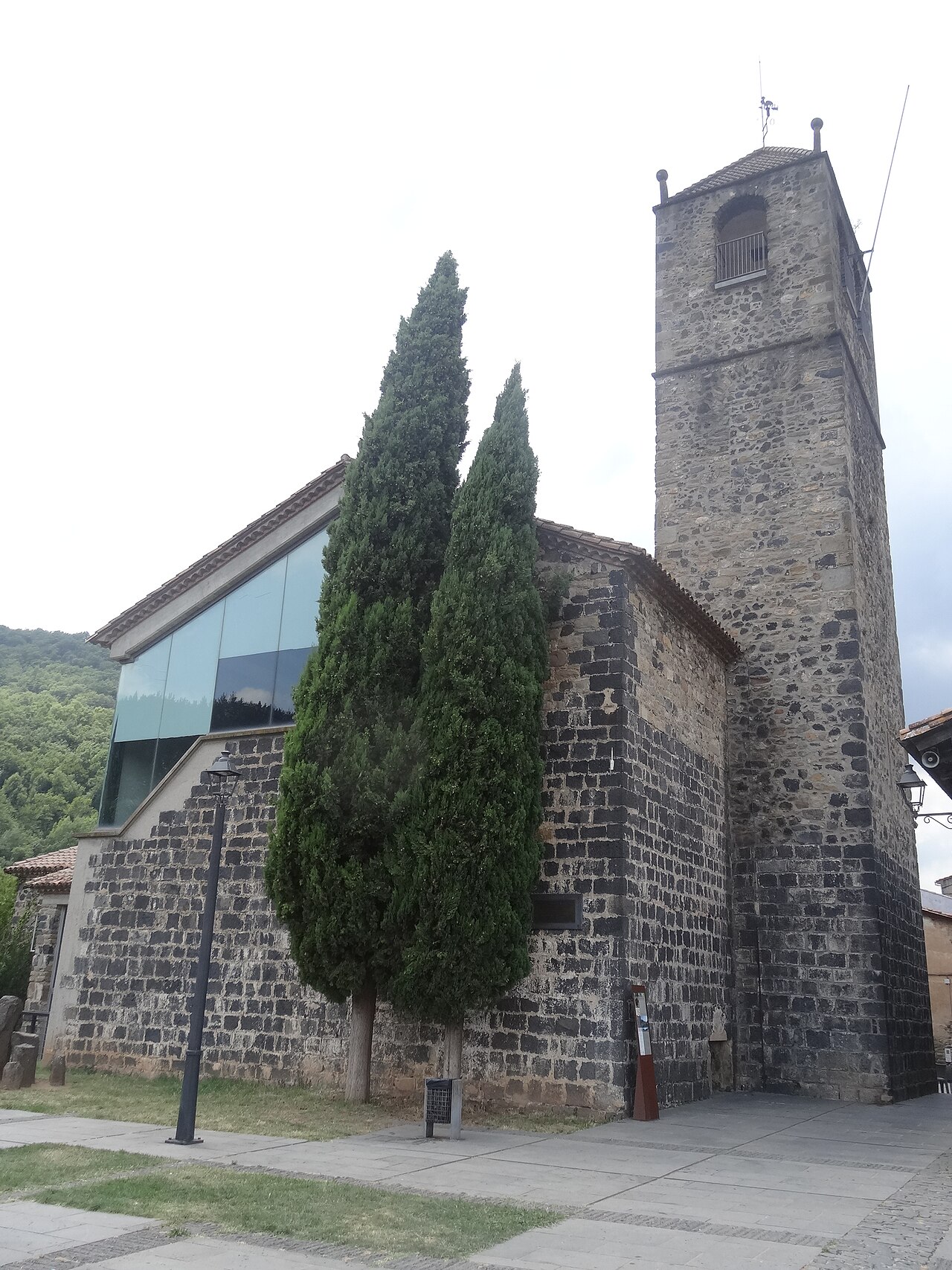
- Plaça de Josep Pla and the old church (286 m). The great viewpoint over the Fluvià and Toronell valleys, at the tip of the cliff. See the viewpoint and the old church.
- Down the Via Annia (275 m). Level with the last houses, some steps and the cobbles of the old Roman road lead down towards the Toronell and the vegetable gardens.
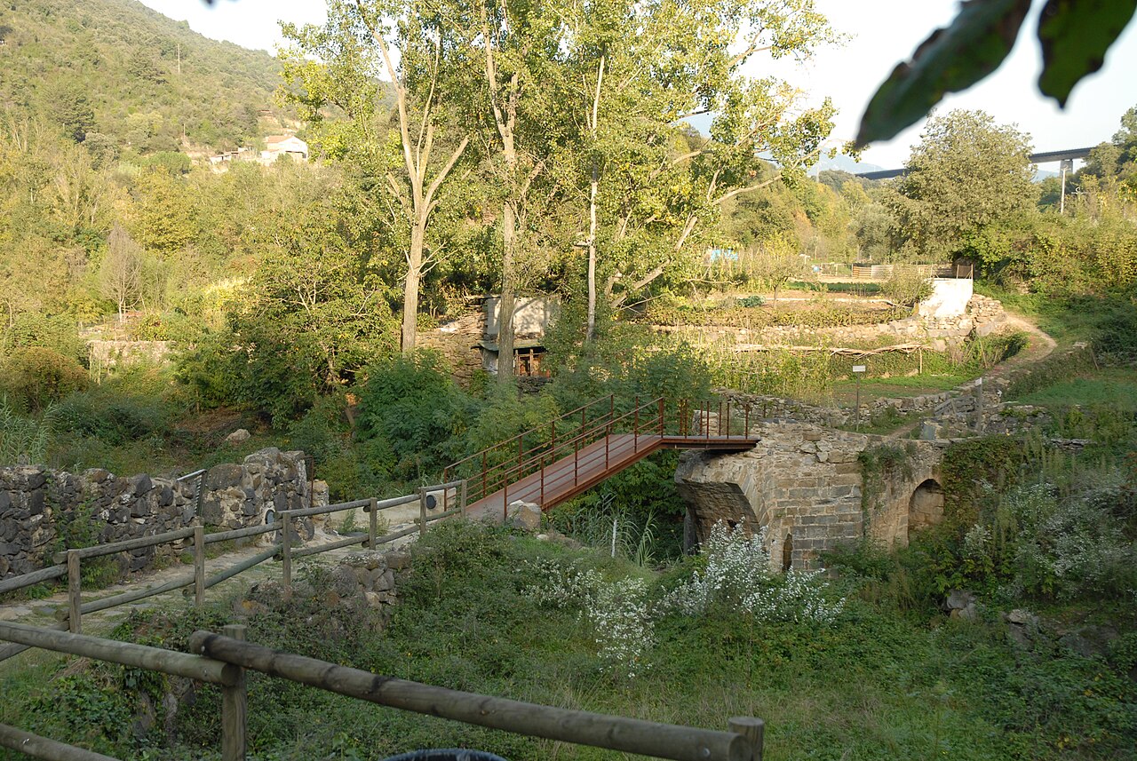
- Medieval bridge over the Toronell (242 m). With Gothic remains at its base. See the bridge and the Via Annia.
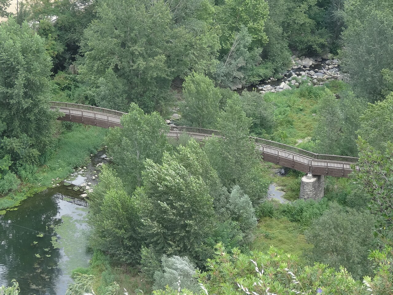
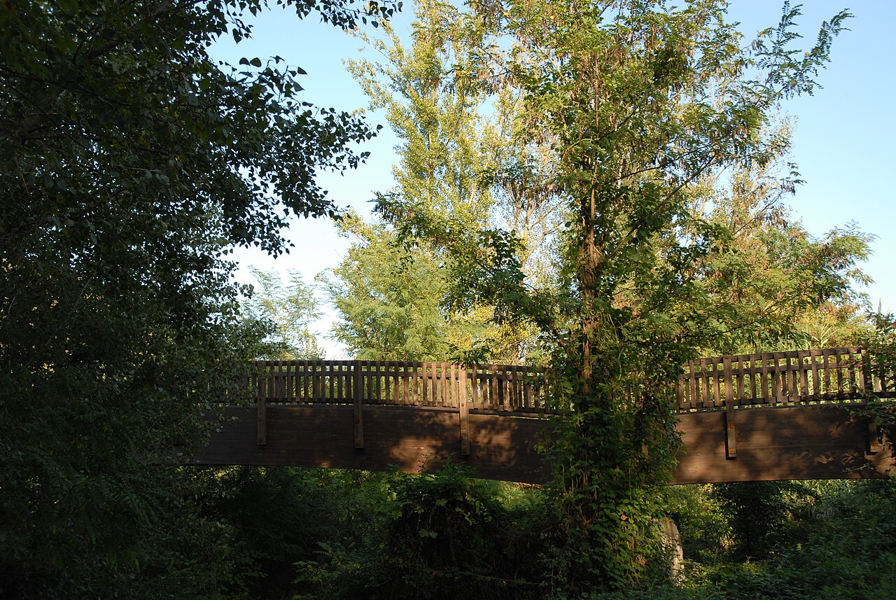
- Fluvià footbridge (239 m). The wooden footbridge, opened in 1998, with the view of the village on its cliff. See the footbridge.
- Climb to the Cós neighbourhood. The path climbs the sunny slope on the other side of the river.
- Return. Down to the Mont-Rock inn and restaurant, by the road; cross the Fluvià on the bridge and climb back up into the village.
The short version
If you're short of time, Turisme Garrotxa suggests doing it the other way round and without climbing to Cós. In short:
- From Plaça de Catalunya, along Germanes Illa and Sant Josep streets to the road.
- Down the steps to the road bridge over the Fluvià, and across it.
- Level with the Mont-Rock inn and restaurant, a path towards the vegetable gardens and then a paved lane to the footbridge.
- The footbridge, the gardens and the little bridge over the Toronell, which Turisme Garrotxa describes as Romanesque and rebuilt.
- Up the Roman road to the old church and, if you like, the viewpoint.
- Back along Carrer Major towards the town hall and along the Olot road to Plaça de Catalunya.
Before you set off
- Footwear. There are steps, cobbles and earth paths. In comfortable shoes it's an easy walk; with a pushchair or a wheelchair you can't do the whole loop.
- Bikes and horses. The Park's route sheet says they are not allowed on this route.
- Park rules. Dogs on a lead, no drones, no camping, no collecting rocks or plants, and take your rubbish home with you. Much of the route runs between private vegetable gardens.
- Emergencies. The leaflet reminds you that the number to call is 112.
For the best light on the cliff during the walk, see photography. If you still feel like walking afterwards, our nearby sights page covers the route past the three lava flows at Sant Joan les Fonts and the route through the volcanoes and the Fageda d'en Jordà.
Places

Plaça de Josep Pla viewpoint
The square on the edge of the cliff, next to the old church, with views over the Fluvià and Toronell valleys.
.jpg)
Medieval Toronell bridge and Via Annia
The bridge over the Toronell, with Gothic remains, and the cobbled stretch of Roman road that climbs to the old church.
.jpg)
Footbridge over the Fluvià
Wooden footbridge over the river, with one of the most complete views of the village and the eastern end of the cliff.
.jpg)
Old church of Sant Salvador
The village's old church, at the far end of the cliff, now a cultural space with a bell tower open to visitors.
Sources
- Riscales de Castellfollit de la Roca, folleto del itinerario 13 (Parc Natural) · accessed
- Núm. 13. Riscales de Castellfollit de la Roca (Parc Natural, ficha de 2009) · accessed
- Risco basáltico de Castellfollit de la Roca, itinerario 13 (Turisme Garrotxa) · accessed
- Itinerari 13, cingleres de Castellfollit de la Roca (Ayuntamiento) · accessed
- Castellfollit de la Roca, ficha del municipio (Turisme Garrotxa) · accessed