The footbridge over the Fluvià
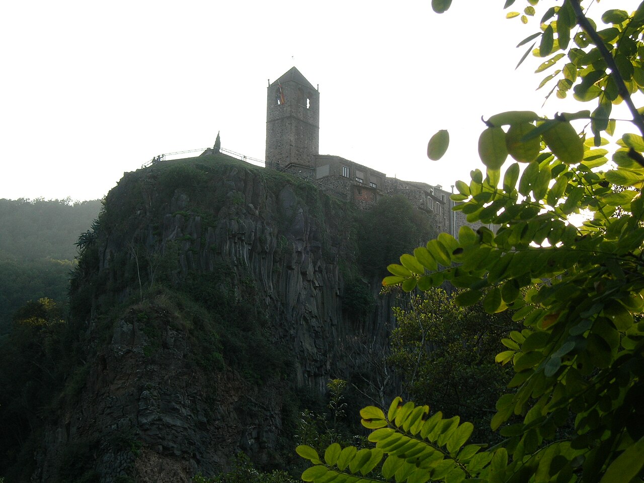
To see Castellfollit as it appears in the photos, you have to go down to the river. The wooden footbridge is where the village, the rock and the water all fit into one view.
- Coordinates
- 42.21917, 2.5561 · View on OpenStreetMap · Source
What it is
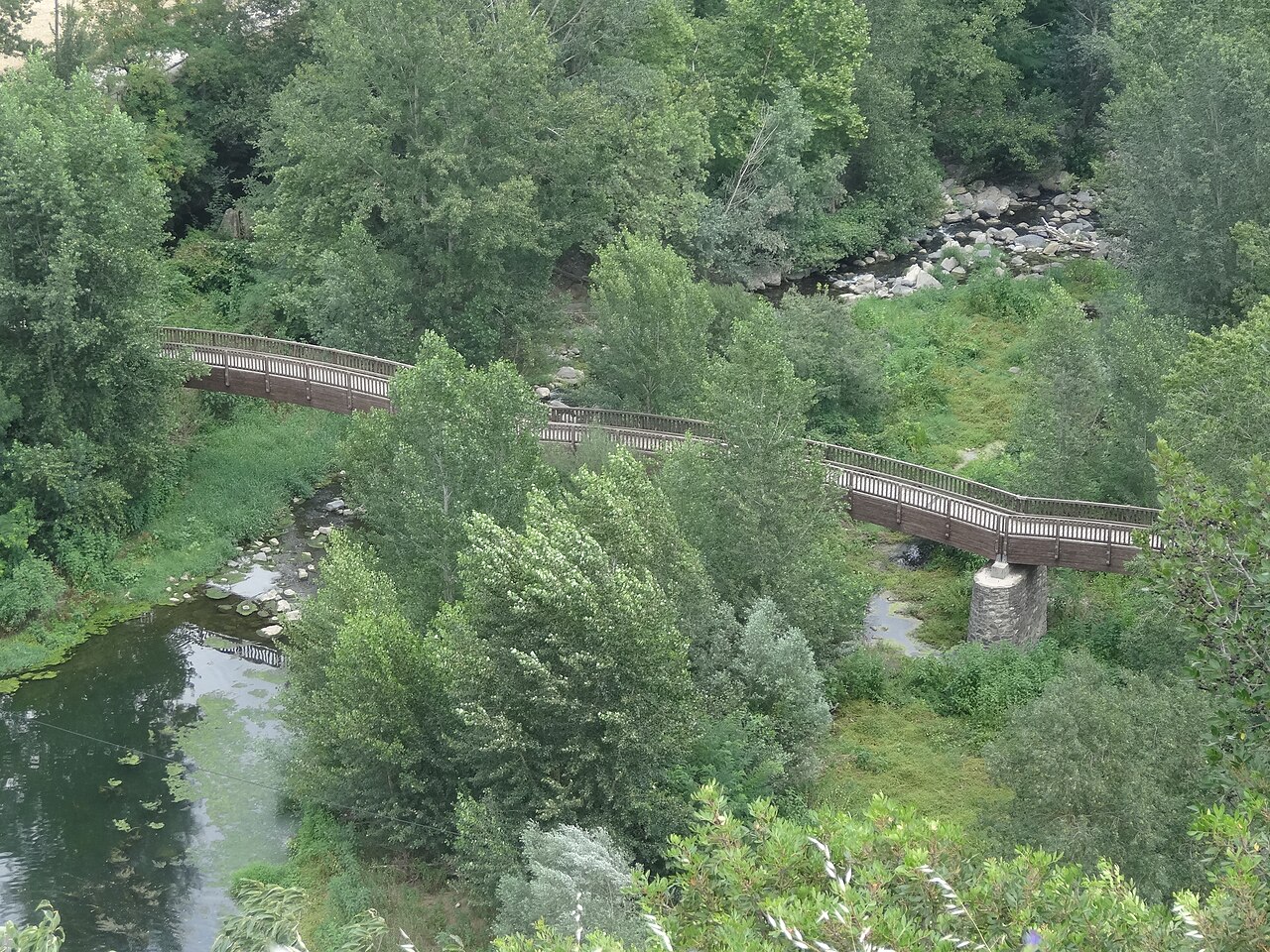
It's a wooden footbridge for pedestrians that crosses the Fluvià at the foot of the village. The Natural Park leaflet dates it to 1998 and highlights the view it offers: the village and the eastern end of the cliff, right below the Plaça de Josep Pla viewpoint. Turisme Garrotxa mentions it in the same way, as the place to take in the rock with the village on top.
From here you understand what you can't see from above: the basalt columns, the height of the wall and the houses perched on the edge. It's the photo almost everyone comes looking for.
How to get down
The footbridge is part of the Natural Park's route 13, the circular walk around the village. There are two usual ways to reach it:
- From the newer part of the village. This is the direction Turisme Garrotxa suggests: from Plaça de Catalunya, some steps lead down to the road bridge; you cross the Fluvià and, level with the Mont-Rock inn and restaurant, a path and then a paved lane lead down between vegetable gardens to the footbridge.
- From the old church. The Park leaflet suggests the opposite direction: from the viewpoint, some steps and the cobbled Via Annia lead down towards the Toronell and the gardens, and from there you carry on to the footbridge.
Either way, you'll have to go down and climb back up a fair few metres. The details are in the walking route.
The vegetable gardens and the channels
The path to the footbridge runs through the vegetable gardens that local people tend beside the Fluvià and the Toronell, separated by stone walls. The town council also points out remains of industrial archaeology: channels and weirs that diverted river water to the Can Mulleras and Can Xaudiera factories, in Montagut, to generate electricity. One of the photo captions in the Park leaflet shows precisely the Fluvià weir and its channel, with the village in the background.
These gardens belong to local people: the path runs between them, but you don't go in. The Park leaflet itself reminds visitors that most of the protected area is privately owned.
Tips
- The light. The tip of the cliff that you see from here faces east and south-east: it gets the sun in the morning and is backlit in the afternoon. We explain this in photography.
- With children. The Park leaflet rates the route as easy. Even so, the way down and back up has steps and cobbled sections.
- More views. If you carry on south, you reach the medieval bridge over the Toronell, with its Gothic remains and the Roman road.
Places
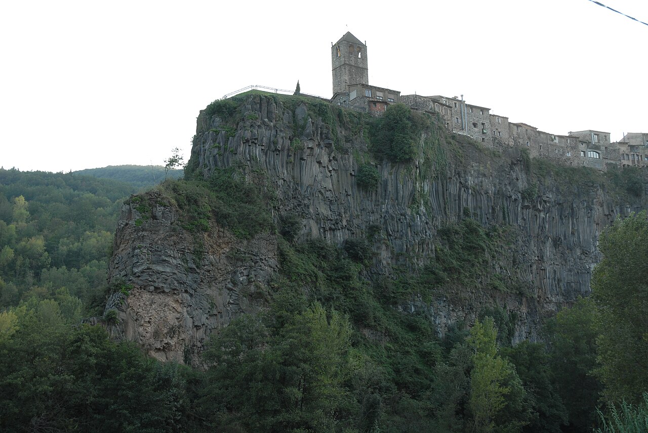

Basalt cliff of Castellfollit
The basalt wall, about 40 to 50 metres high depending on the source and almost a kilometre long, on which the village stands.
.jpg)
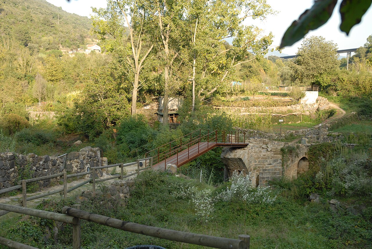
Medieval Toronell bridge and Via Annia
The bridge over the Toronell, with Gothic remains, and the cobbled stretch of Roman road that climbs to the old church.

Plaça de Josep Pla viewpoint
The square on the edge of the cliff, next to the old church, with views over the Fluvià and Toronell valleys.
Nearby
Plaça de Josep Pla viewpoint
The square on the edge of the cliff, next to the old church, with views over the Fluvià and Toronell valleys.
.jpg)
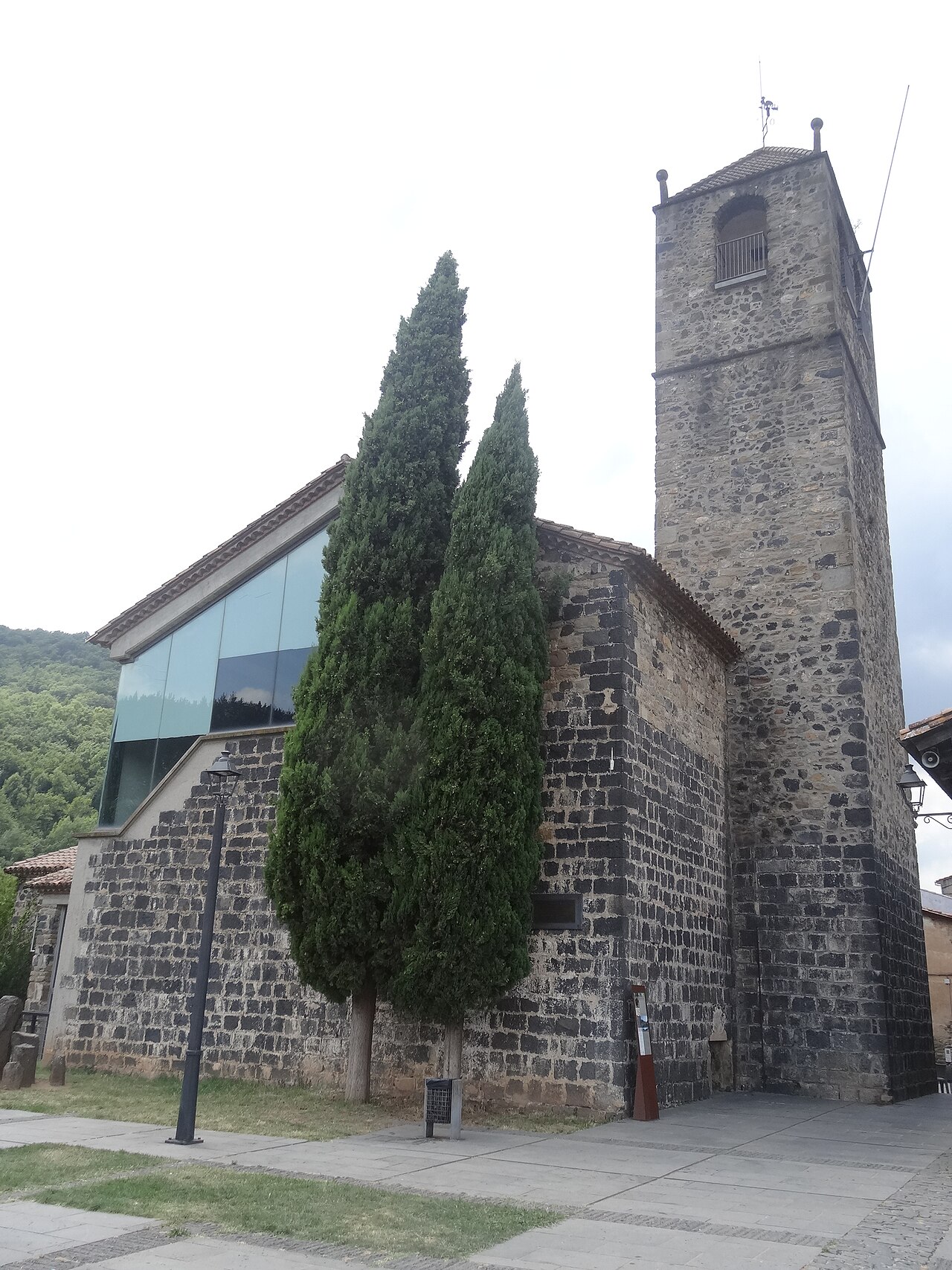
Old church of Sant Salvador
The village's old church, at the far end of the cliff, now a cultural space with a bell tower open to visitors.
Medieval Toronell bridge and Via Annia
The bridge over the Toronell, with Gothic remains, and the cobbled stretch of Roman road that climbs to the old church.
Sources
- Riscales de Castellfollit de la Roca, folleto del itinerario 13 (Parc Natural) · accessed
- Risco basáltico de Castellfollit de la Roca, itinerario 13 (Turisme Garrotxa) · accessed
- Castellfollit de la Roca, ficha del municipio (Turisme Garrotxa) · accessed
- Altres llocs d'interès (Ayuntamiento de Castellfollit de la Roca) · accessed
- La Passarel·la (OpenStreetMap) · accessed
- Cinglera de Castellfollit de la Roca, extremo este (OpenStreetMap) · accessed