History and geology of Castellfollit
First came the lava; then a castle in a spot that was easy to defend. A thousand years of earthquakes, sieges and floods explain the village you see today.
Before the village: the lava
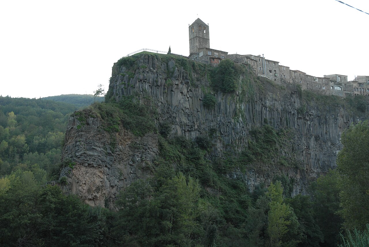
According to its own leaflet, the Garrotxa Volcanic Zone Natural Park contains some forty volcanic cones and several basalt lava flows across about 15,000 hectares. Castellfollit stands on two of those flows. The first came down from the Batet area along the Fluvià valley; the second arrived from Begudà along the Toronell valley and covered the first.
The dates vary from source to source. Patrimoni Garrotxa gives about 217,000 years for the first flow and about 192,000 for the second; an older Park route sheet, from 2009, gives the first a figure printed as "350.00", probably meant as 350.000, which in Spanish notation is 350,000 years, and leaves the second undated. Later, the Fluvià and the Toronell cut down on either side until the basalt plateau was left standing high, and water and ice are still making the wall retreat. We explain this in detail on the basalt cliff page.
A castle on the heights (11th to 14th centuries)
The village grew up around a castle. According to the town council, the earliest written mentions are kastro fullit, in 1096, and kastro-follito, in 1100. The castle is recorded on 26 October 1193, when the lieutenants of the viscounty of Bas granted the bailiwick of the castle and the town to Ramon de Colltort in perpetuity. Peasant families settled under its protection, and the settlement was walled later on.
In the 12th century the place belonged to the viscounts of Bas. In 1278, Sibil·la, Viscountess of Bas and Empúries, acknowledged that she held the castle as a fief of the king, and shortly afterwards sold it to the king himself. In 1315, King Jaume II (James II of Aragon) gave the viscounty of Bas, Castellfollit included, to Count Malgaulí of Empúries, though he kept direct lordship for himself. In 1339, Pere the Ceremonious (Peter IV of Aragon) brought Castellfollit under the Crown, and in 1351 it became part of the Duchy of Girona, created for his eldest son.
Earthquakes and wars (15th to 17th centuries)
In the 15th century came the earthquakes. The town council relates that a great earthquake brought the village down and that another, at Candlemas in 1428, brought it down again. According to the heritage inventory, that 1428 earthquake also destroyed the church of Sant Salvador and killed nearly a quarter of the population.
In the 15th century the barony belonged to the Santa Pau family and later passed, through kinship, to the Cruïlles family. In 1462, during the Catalan Civil War, the village fell to the remença peasants led by Francesc de Verntallat.
The 17th century belonged to the French. In 1657 a battle was fought here in which the Castilian troops of the Marquis of Mortara defeated the French; French troops badly damaged the church in 1657 and 1658, and in 1659 the village was besieged, bombarded and burned. The castle remained a stronghold, and according to the town council it was apparently the French army that demolished it in 1691.
From the 18th to the 20th century
Even without its castle, the village stayed in the path of war. During the Peninsular War (the Spanish War of Independence), according to the town council, French troops took the roof beams of Can Gussinyer to build a footbridge over the Fluvià, the pas dels Gabaits. In 1872, at the start of the Third Carlist War, there was a skirmish next to that same house, and in 1874 Carlists and Republicans fought among the ruins of the castle.
Between the late 19th century and the first third of the 20th, other changes arrived. The Ca la Paula inn opened in 1870 on the Girona–Olot road, and according to the town council the earliest records of the basalt quarry date from 1887. The Ortiz family has worked it since 1929. In 1908 a bridge was built over the Fluvià, and in 1924–1925 the Torre del Rellotge.
The Civil War and after
In 1936 the old church of Sant Salvador was burned. At the end of the war, the Fluvià bridge was blown up during the Republican retreat, and the 1940 flood brought down two of its arches; it was never rebuilt. Mass moved to another building until 1944, when the new church in the modern part of the village was completed. In the 1960s the cemetery, which stood on what is now Plaça de Josep Pla, was moved too.
On 3 April 1970, another flood swept away much of what remained of the Gothic bridge over the Toronell, which was later rebuilt. In the mid-1980s, local people brought the old church back to life as a cultural centre.
Today
Castellfollit has 960 inhabitants (Idescat, 2025) and covers 0.73 km². It is part of the Garrotxa Volcanic Zone Natural Park, and the cliff it lives on is monitored: according to NacióDigital, in 2023 the Institut Cartogràfic i Geològic de Catalunya, Catalonia's mapping and geological survey, installed movement sensors on the north face to give early warning of rockfalls.
To see what's left of all this history on the ground, start with the old town and the old church.
Places

Basalt cliff of Castellfollit
The basalt wall, about 40 to 50 metres high depending on the source and almost a kilometre long, on which the village stands.
.jpg)
Old town
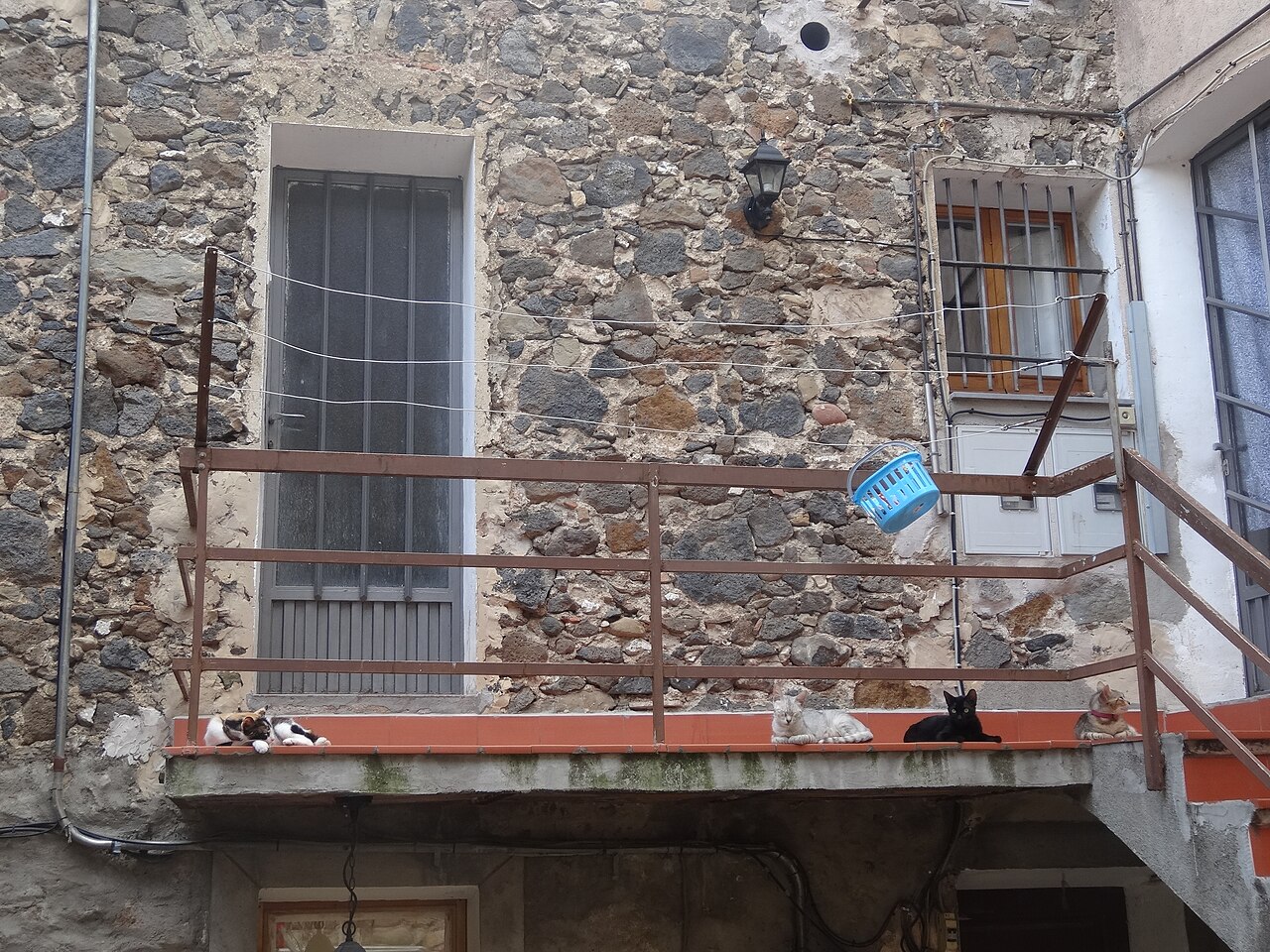
Narrow streets of medieval origin, houses of volcanic stone and small squares on top of the cliff.
.jpg)
Old church of Sant Salvador
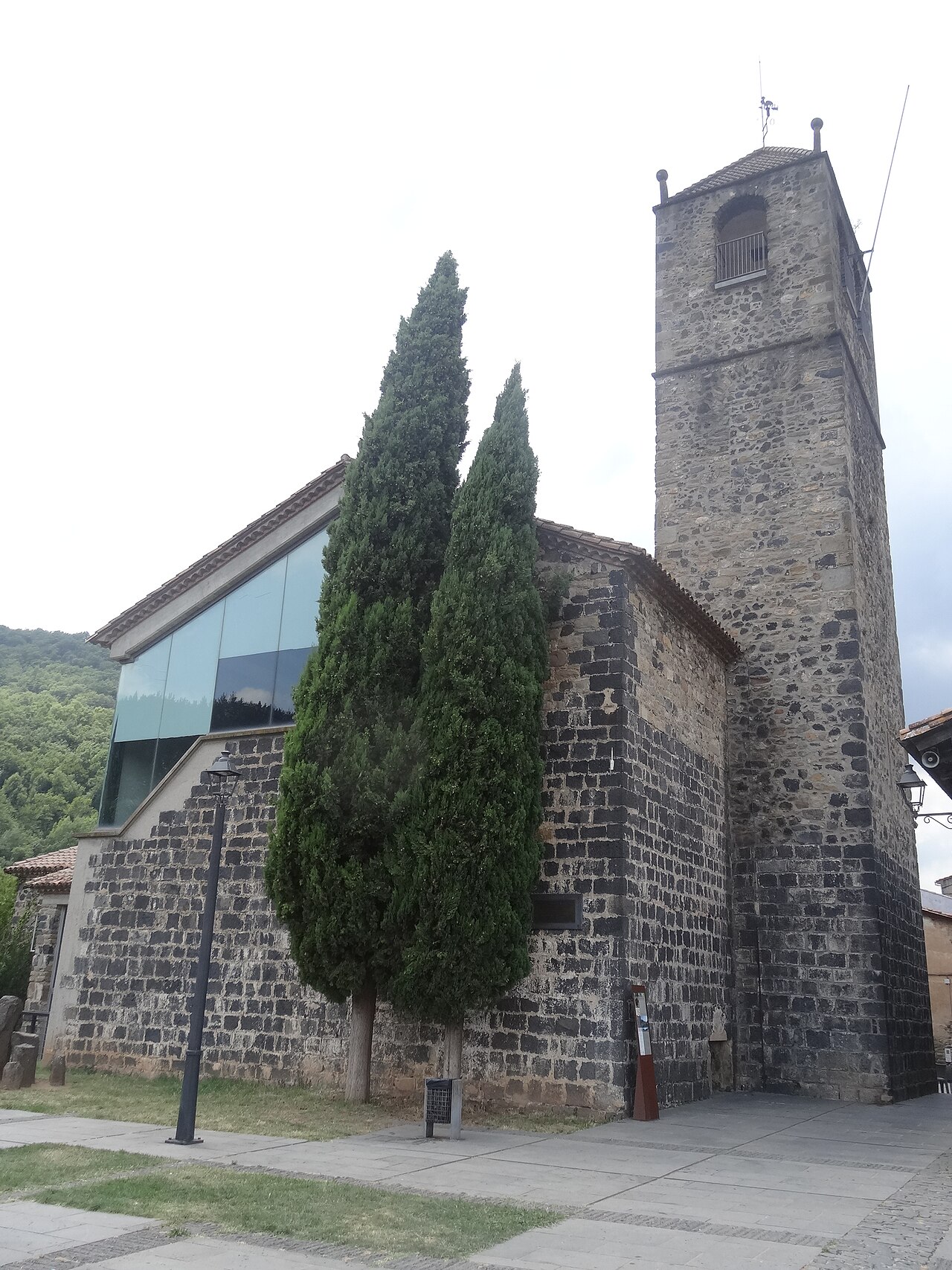
The village's old church, at the far end of the cliff, now a cultural space with a bell tower open to visitors.
Sources
- Història (Ayuntamiento de Castellfollit de la Roca) · accessed
- Patrimoni arquitectònic (Ayuntamiento de Castellfollit de la Roca) · accessed
- La pedrera (Ayuntamiento de Castellfollit de la Roca) · accessed
- El barri vell (Ayuntamiento de Castellfollit de la Roca) · accessed
- Las coladas de lava (Patrimoni Garrotxa) · accessed
- Núm. 13. Riscales de Castellfollit de la Roca (Parc Natural, ficha de 2009) · accessed
- Riscales de Castellfollit de la Roca, folleto del itinerario 13 (Parc Natural) · accessed
- El municipio en cifras: Castellfollit de la Roca (Idescat) · accessed
- Col·loquen sensors de moviment a la cinglera de Castellfollit (NacióDigital, 4 de julio de 2023) · accessed