Castellfollit and the Garrotxa in 2 days
A weekend based in Castellfollit: the village and Sant Joan les Fonts on day one, the volcanoes and the Fageda d'en Jordà on day two. Plus how to cut it down to one day or stretch it to three.
At a glance
- In 2 days
- Day 1: Castellfollit and Sant Joan les Fonts. Day 2: the Fageda d'en Jordà, Santa Margarida, Croscat and Santa Pau
- In 1 day
- Castellfollit in the morning, with the 2.8 km walking route, and Sant Joan les Fonts and its lava flows in the afternoon
- In 3 days
- The two days above plus a third for Besalú and, in the afternoon, the Vall d'en Bas or Olot's Montsacopa
- Where to stay
- In Castellfollit, to see the village first thing and in the last light, or nearby: Sant Joan les Fonts (about 4 km) or Olot (about 7.5 km)
- Without a car
- Castellfollit and Sant Joan les Fonts: the Banyoles lines, weekends too. Volcanoes: Rumbus at weekends and on public holidays. Transversal: working days only
- Old church (2026 hours)
- 22 June to 11 September, every day except Tuesdays; in spring and autumn, Saturdays, Sundays and public holidays
You can see Castellfollit de la Roca in a morning: the old town, the viewpoint and the walk down to the river all fit into a short stroll. The Garrotxa around it, with its volcanoes, the Fageda d'en Jordà and Besalú, deserves at least one night. The plans on this page assume you're travelling by car, except where stated. Distances are by road from the centre of Castellfollit, the same ones as on our nearby sights page, and they are approximate.
The Garrotxa in 2 days
Designed for a weekend with one night in the area: on the first day, Castellfollit and the neighbouring village upstream; on the second, the Natural Park's volcanoes and beech forest.
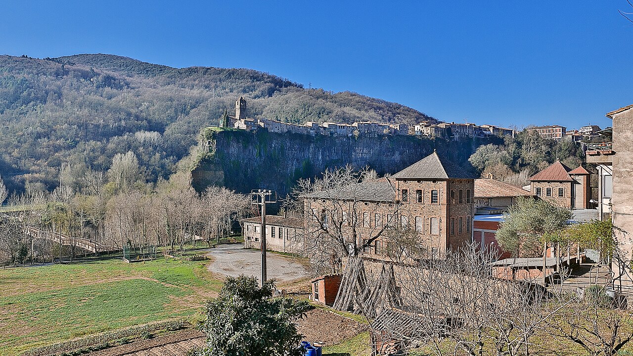
- Day 1, morning: Castellfollit. Leave the car in Plaça de Catalunya, in the newer part of the village, where Turisme Garrotxa says there's a public car park and where the walking route, the Natural Park's route 13, begins. According to the Park leaflet, it's a 2.8 km loop taking 1 h 15 min, with 125 metres of ascent and the same again of descent. You cross the old town to the Plaça de Josep Pla viewpoint and the old church of Sant Salvador, go down the Via Annia to the Toronell bridge and reach the Fluvià footbridge, where you see the village sitting on top of the cliff. By our calculation, in the morning the sun lights the tip of the cliff and the church as you see them from the footbridge; around midday and in the early afternoon it's behind the village, the wall is in shadow and photos come out backlit.
- Day 1, afternoon: Sant Joan les Fonts (about 4 km). The neighbouring village, upstream on the Fluvià, where you also see the lava from below. Turisme Garrotxa highlights three stacked lava flows, from different eruptive vents, along the Molí Fondo stretch, which you can explore on a waymarked circular route of moderate difficulty. The village also has the old Romanesque monastery and Juvinyà castle, with a permanent exhibition that Turisme Garrotxa recommends for families with children.
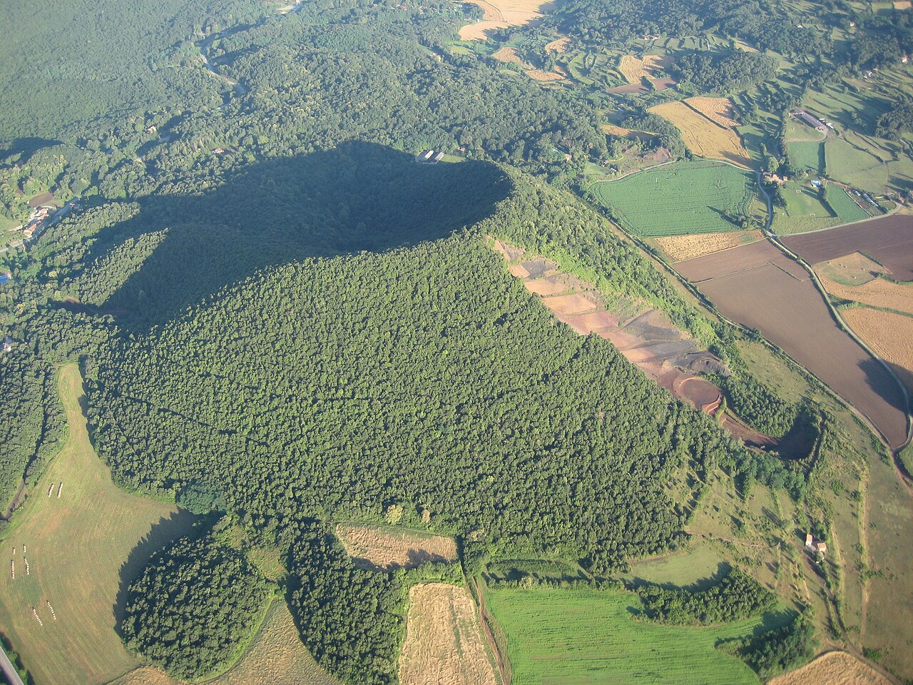
- Day 2, morning: the Fageda d'en Jordà, Santa Margarida and Croscat (about 16 km). South of Olot, on the Santa Pau road. Natural Park route 1 links all three in about 11 km, starting from the Santa Margarida car park; Turisme Garrotxa describes it as a half-day walk, giving 4 h 20 min on its route page. Along the way you'll see the Santa Margarida volcano, with a Romanesque chapel in the middle of its crater; the Croscat volcano, where old quarrying cut into its side and exposed layers of grey, black and reddish lapilli; and the beech forest, which grows on the Croscat's own lava flow. If you'd rather walk less, a family-friendly woodland path climbs to the Santa Margarida crater, with a large car park at the foot.
- Day 2, lunch and afternoon: Santa Pau (about 19 km). A medieval village in the heart of the volcanic area, with an arcaded Plaça Major, the Gothic church of Santa Maria and the castle beside it. It's the home of the fesols de Santa Pau, beans with Protected Designation of Origin status.
This plan leaves out Besalú, Olot and the Vall d'en Bas, which come into the three-day plan. If Besalú matters more to you than Sant Joan les Fonts, swap them on the afternoon of day 1: it's about 14 km away, downstream on the Fluvià. And if you're travelling in autumn, expect crowds in the Fageda: Turisme Garrotxa warns that the area gets very crowded at that time of year, and its route 1 page advises going in spring, summer or winter.
One day: Castellfollit and Sant Joan les Fonts
If you're not staying the night, do the first day of the plan above. It's what plan your visit suggests for a full day; if you have less time, that page shows what fits into an hour, or into two or three.
- Morning: Castellfollit and the walking route: the old town, the Plaça de Josep Pla viewpoint, the old church and the walk down to the Toronell bridge and the Fluvià footbridge.
- Afternoon: Sant Joan les Fonts, about 4 km away, with the Molí Fondo lava flows, the old monastery and Juvinyà castle.
You can do this plan without a car, at weekends too: Castellfollit and Sant Joan les Fonts are stops on the TEISA lines via Banyoles, as you'll see below.
Three days: add Besalú and, in the afternoon, Olot or the Vall d'en Bas
With two nights, you can cover the area without rushing, as our nearby sights page suggests:
- Days 1 and 2: the two-day plan, just as it is.
- Day 3, morning: Besalú (about 14 km). Downstream on the Fluvià. Its old bridge, Romanesque in origin, is 105 metres long, with seven arches and a fortified tower on a hexagonal plan. In the old Jewish quarter there's a mikveh, a ritual bath discovered by chance in 1964. Besalú's tourist office runs guided tours all year round, and the Besalú Medieval fair is held on the first weekend of September.
- Day 3, afternoon: the Vall d'en Bas or Olot's Montsacopa. If you fancy countryside, head for the Vall d'en Bas, a plain south of Olot (about 19 km to Els Hostalets d'en Bas): Els Hostalets d'en Bas is a historic cluster of narrow lanes and stone houses, Sant Esteve d'en Bas has a 12th-century Romanesque church, and the Carrilet greenway runs through the valley for cycling. If you'd rather see a volcano in the middle of a town, go to Olot (about 7.5 km): Montsacopa, with a circular crater and the church of Sant Francesc on top, is climbed on an easy, waymarked path and gives a 360-degree view over the town and other volcanoes. To make sense of everything you've seen, Espai Cràter is an interactive exhibition built inside the Puig del Roser volcano; check opening times and booking before you go.
Where to stay: in the village or close by
The area is small, and everything these plans suggest is less than 20 km from Castellfollit, so you can sleep in the same place every night. Depending on how you travel:
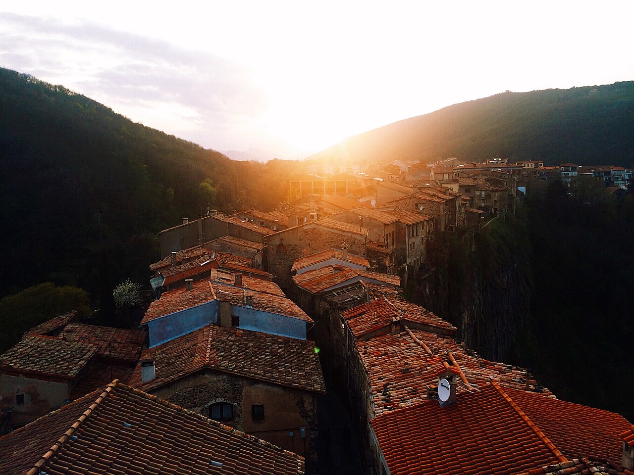
- In Castellfollit. To wake up on top of the cliff and see the village first thing or in the last light without getting in the car. If you sleep here on the night of day 1, late in the afternoon the low, warm light catches the rooftops and the bell tower from the west, by our calculation; the sun times for each month are in plan your visit.
- In Sant Joan les Fonts (about 4 km). Farmhouses with room for families, groups of friends or anyone travelling with a dog. You'll need a car to reach them.
- In Olot (about 7.5 km). It sits in the middle of everything, has restaurants and shops close at hand, and is the option if you're travelling without a car or doing the three-day plan.
All the areas, with their places to stay, are in where to stay, which adds Santa Pau, Besalú and the Vall d'en Bas.
Without a car
Castellfollit has a bus stop on the Olot road, which runs through the village, and from there you explore the old town and walk down to the river on foot. The two-day plan can be done by bus if it falls on a weekend, as long as you sleep in Olot or take the bus there on the second day. These are the lines that matter, according to TEISA and Turisme Garrotxa, checked in October 2026:
- Olot - Barcelona via Banyoles and Girona - Olot via Banyoles. They stop at Olot bus station, Sant Joan les Fonts, Castellfollit and Besalú, and their timetables have separate tables for working days from Monday to Friday, for Saturdays, and for Sundays and public holidays. The Olot - Figueres line also stops in Castellfollit and Besalú.
- Rumbus. A public transport service run by TEISA which, according to Turisme Garrotxa, links Les Preses, the centre of Olot, the Fageda d'en Jordà, the Santa Margarida area and Santa Pau at weekends, over long weekends, on public holidays and on other dates. One of its stops is Olot bus station, and its 2026 timetable includes a calendar showing the days each service runs.
- Bus Transversal de la Garrotxa. It links Besalú, Castellfollit, Sant Joan les Fonts, Olot, Les Preses and Sant Esteve d'en Bas, among other stops, but only runs on working days, according to Turisme Garrotxa and its TEISA timetable.
So, plan by plan:
- Day 1 and the one-day plan: Castellfollit and Sant Joan les Fonts are on both lines via Banyoles, at weekends too.
- Day 2, the volcanoes: at a weekend, over a long weekend or on a public holiday, your option is the Rumbus, which links Olot with the Fageda d'en Jordà, the Santa Margarida area and Santa Pau; check its 2026 calendar to see which services run that day. Croscat is not among its stops; on foot, route 1 links it with Santa Margarida and the Fageda. If you're sleeping in Castellfollit, get to Olot first on one of the lines via Banyoles. If the Rumbus isn't running, there's still a taxi: the town council publishes taxi phone numbers for Castellfollit and Olot.
- Day 3: Besalú and Olot are on the lines via Banyoles. Sant Esteve d'en Bas, in the Vall d'en Bas, is a stop on the Bus Transversal, which only runs on working days; Els Hostalets d'en Bas is not among the stops we list.
Timetables change with the day and the season, so we don't copy them here: check them on the TEISA website before you set off. All the lines that stop in the village are in getting there. If you're staying somewhere other than Castellfollit, Olot is the base that works best without a car: TEISA links it with Barcelona, Girona and Figueres, and the Rumbus runs through its centre.
Keep exploring
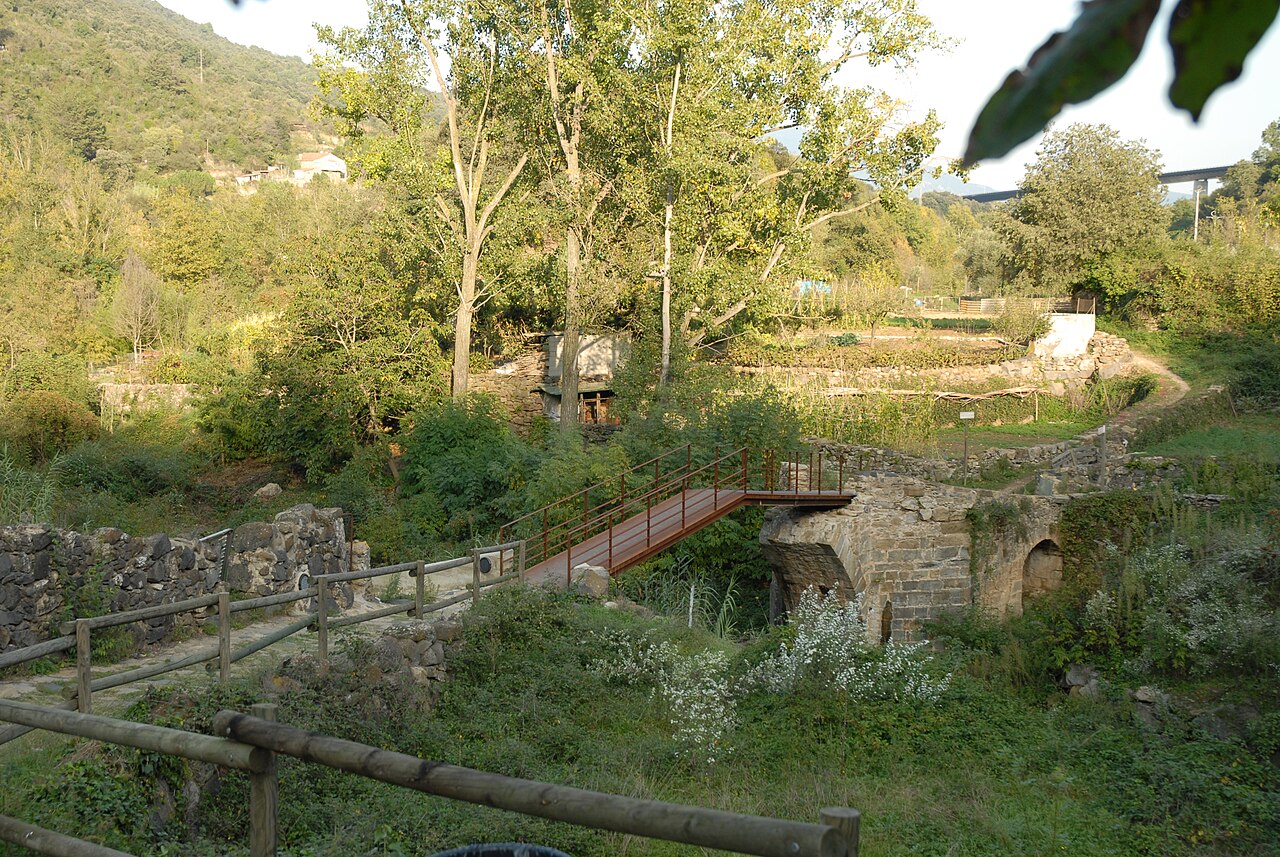

Walking route: Natural Park route 13
A short, waymarked circular walk that drops from the village to the river and climbs back up, so in a single outing you see the cliff from below and the village from above.
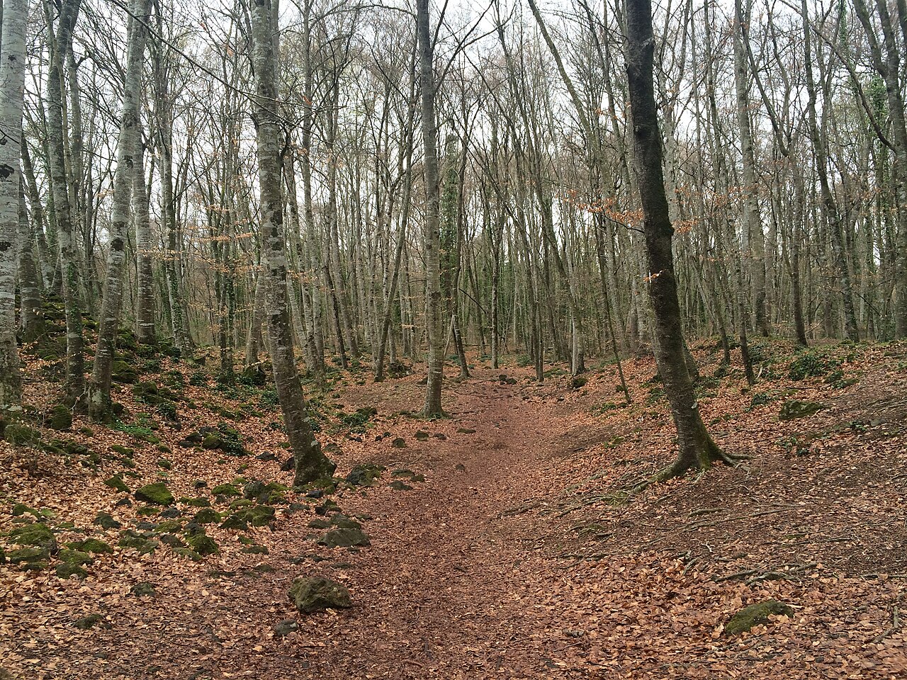

Around Castellfollit de la Roca
Castellfollit is one of the gateways to the volcanic area. Less than 20 km away by road you'll find volcanoes, a beech forest growing on lava, two medieval towns and the plain of the Vall d'en Bas.
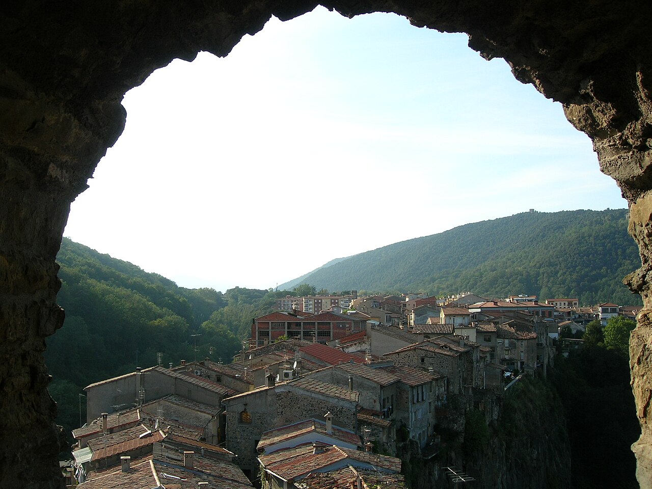

Where to stay in Castellfollit and the Garrotxa
You can see Castellfollit in a morning, but the Garrotxa deserves at least one night. We explain which area suits your trip and list real places to stay, checked on their official websites.

Getting there and parking
Castellfollit is on the road between Besalú and Olot. Driving there is easy; what's worth knowing is where to park and which buses stop in the village.

Plan your visit
How much time you need, when the old church is open, when the sun lights up the rock and what to expect from the slopes. With a table of sun times calculated for the village.
Sources
- Riscales de Castellfollit de la Roca, folleto del itinerario 13 (Parc Natural) · accessed
- Risco basáltico de Castellfollit de la Roca, itinerario 13 (Turisme Garrotxa) · accessed
- Església Museu, horarios 2026 (Ayuntamiento de Castellfollit de la Roca) · accessed
- Solar Calculator (NOAA Global Monitoring Laboratory) · accessed
- Cinglera de Castellfollit de la Roca, extremo este (OpenStreetMap) · accessed
- Coladas basálticas de Sant Joan les Fonts (Turisme Garrotxa) · accessed
- Antiguo monasterio de Sant Joan les Fonts (Turisme Garrotxa) · accessed
- Castillo de Juvinyà (Turisme Garrotxa) · accessed
- Reserva natural de la Fageda d'en Jordà (Turisme Garrotxa) · accessed
- Reserva natural del volcán Croscat (Turisme Garrotxa) · accessed
- Volcán de Santa Margarida (Turisme Garrotxa) · accessed
- Fageda d'en Jordà, volcán de Santa Margarida y volcán Croscat, itinerario 1 (Turisme Garrotxa) · accessed
- Casco antiguo de Santa Pau (Turisme Garrotxa) · accessed
- Puente viejo de Besalú (Turisme Garrotxa) · accessed
- Micvé y sinagoga de Besalú (Turisme Garrotxa) · accessed
- Pueblos de la Vall d'en Bas (Turisme Garrotxa) · accessed
- Ruta del Carrilet, la vía verde (Turisme Garrotxa) · accessed
- Reserva natural del volcán Montsacopa (Turisme Garrotxa) · accessed
- Espai Cràter (Turisme Garrotxa) · accessed
- Com arribar-hi (Ayuntamiento de Castellfollit de la Roca) · accessed
- Ruta en coche a Sant Joan les Fonts (OSRM, datos de OpenStreetMap) · accessed
- Ruta en coche a Besalú (OSRM, datos de OpenStreetMap) · accessed
- Ruta en coche al volcán de Santa Margarida (OSRM, datos de OpenStreetMap) · accessed
- Ruta en coche a Santa Pau (OSRM, datos de OpenStreetMap) · accessed
- Ruta en coche a Els Hostalets d'en Bas (OSRM, datos de OpenStreetMap) · accessed
- On dormir? (Ayuntamiento de Castellfollit de la Roca) · accessed
- Dónde dormir en la Garrotxa (Turisme Garrotxa) · accessed
- Bus interurbano: líneas y horarios (TEISA) · accessed
- Horario Olot - Barcelona por Banyoles (TEISA, PDF) · accessed
- Horario Girona - Olot por Banyoles (TEISA, PDF) · accessed
- Horario Olot - Figueres (TEISA, PDF) · accessed
- Rumbus, Les Preses - Olot - Santa Pau (Turisme Garrotxa) · accessed
- Horario Les Preses - Olot - Santa Pau 2026 (TEISA, PDF) · accessed
- En autobús, cómo llegar (Turisme Garrotxa) · accessed
- Horario Bus Transversal de la Garrotxa (TEISA, PDF) · accessed